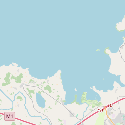
Based on data in OpenStreetMap, here is a list of townlands in the Electoral Division / ED / District Electoral Division of Drumcree.
Drumcree is in Co.
Drumcree is not matched up to Logainm.ie yet.
Léarscáil
It is located at 54° 27' 42" N, 6° 28' 0" W.


Leaflet | Map data © OpenStreetMap contributors
Achar
Drumcree has an area of 19.1 km² / 4,729.2 acres / 7.4 square miles.
Ceannbhailte
There are 21 townlands that we know about in . This represents 100% of all the area in .
- Baile na ngabhann 499 A, 0 R, 11 P
- Cluain na mala 60 A, 1 R, 12 P
- Cor breacaighe 302 A, 2 R, 19 P
- Cor na leac 81 A, 1 R, 5 P
- Doire Ál 360 A, 1 R, 22 P
- Doire Chonamhail 217 A, 1 R, 33 P
- Doire Bruchais 253 A, 2 R, 24 P
- Doire Catha 173 A, 1 R, 24 P
- Doire Corraidhe 196 A, 0 R, 26 P
- Derrykerran 252 A, 2 R, 4 P
- Doire mic Fabhaill 432 A, 2 R, 7 P
- Doire Matraighe 117 A, 3 R, 10 P
- Doire an eisgin 214 A, 3 R, 14 P
- Doire Ban 190 A, 3 R, 15 P
- Droim Crí 162 A, 0 R, 9 P
- Druim gcuas 95 A, 3 R, 31 P
- Druim meadhnach 160 A, 3 R, 1 P
- Faithche 214 A, 0 R, 2 P
- Faithche 216 A, 0 R, 3 P
- Cill mic Amuis 177 A, 1 R, 34 P
- Mucairidhe 349 A, 3 R, 37 P
 OpenStreetMap
Drumcree was added to OpenStreetMap on 23 Feabh 2021 by b-unicycling.
- View
- Edit

 JOSM
JOSM iD
iD