Based on data in OpenStreetMap, here is a list of townlands in the Electoral Division / ED / District Electoral Division of Portadown Rural.
Portadown Rural is in Co.
Portadown Rural is not matched up to Logainm.ie yet.
Léarscáil
It is located at 54° 24' 23" N, 6° 27' 36" W.
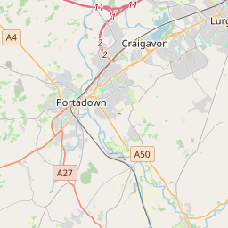

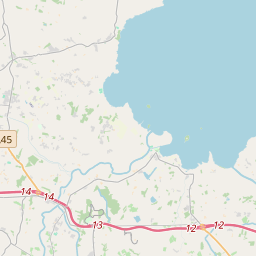
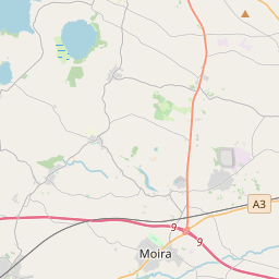
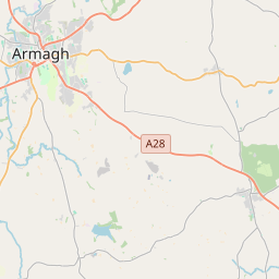
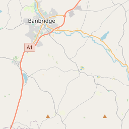
Leaflet | Map data © OpenStreetMap contributors
Achar
Portadown Rural has an area of 17.3 km² / 4,279.0 acres / 6.7 square miles.
Ceannbhailte
There are 14 townlands that we know about in . This represents 100% of all the area in .
- Eanach 244 A, 2 R, 20 P
- Arda Breaca 546 A, 3 R, 34 P
- Baile Fhuaráin 138 A, 0 R, 13 P
- Baile Ui Mharcain 747 A, 1 R, 35 P
- Bailte Loma 146 A, 1 R, 25 P
- Cluain Each 292 A, 3 R, 5 P
- Cor Cuilleantraighe 162 A, 3 R, 12 P
- Cor Cuilleantraighe 226 A, 1 R, 10 P
- Druim na coille 485 A, 0 R, 3 P
- Druim na Subh 222 A, 1 R, 30 P
- Coill Muircheartaigh 327 A, 2 R, 10 P
- Magh Gamhan 291 A, 3 R, 8 P
- Mullaigh an tSiadhain 276 A, 0 R, 35 P
- Soilseán 170 A, 1 R, 30 P
 OpenStreetMap
Portadown Rural was added to OpenStreetMap on 24 Feabh 2021 by b-unicycling.
- View
- Edit