Based on data in OpenStreetMap, here is a list of townlands in the Electoral Division / ED / District Electoral Division of Ballyellin.
Ballyellin is in Co.
Ballyellin is not matched up to Logainm.ie yet.
Léarscáil
It is located at 52° 37' 47" N, 6° 56' 52" W.
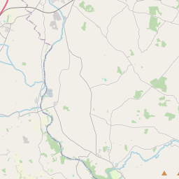
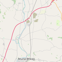
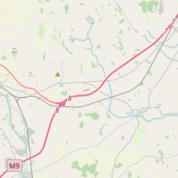
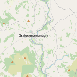

Leaflet | Map data © OpenStreetMap contributors
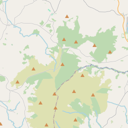
Achar
Ballyellin has an area of 15.8 km² / 3,901.6 acres / 6.1 square miles.
Ceannbhailte
There are 13 townlands that we know about in . This represents 100% of all the area in .
- Baile Eilín agus Tom Darach 1065 A, 0 R, 19 P
- Ballyfeanan 267 A, 1 R, 8 P
- Ballyfeanan 140 A, 1 R, 29 P
- Baile Mháirtín 502 A, 2 R, 3 P
- Cloch Mhuine 145 A, 2 R, 37 P
- Cloch Mhuine 132 A, 1 R, 19 P
- Cloch Mhuine 234 A, 0 R, 37 P
- An Corrán 368 A, 0 R, 13 P
- Cill Chluana 415 A, 1 R, 25 P
- Cill Chuimne 123 A, 0 R, 35 P
- Cill Chuimne 307 A, 0 R, 24 P
- Cnoc Mhánais 127 A, 2 R, 18 P
- An Seanbhaile 72 A, 1 R, 31 P
 OpenStreetMap
Ballyellin was added to OpenStreetMap on 26 Lún 2016 by Teester.
- View
- Edit