Based on data in OpenStreetMap, here is a list of townlands in the Electoral Division / ED / District Electoral Division of Clonmore.
Clonmore is in Co.
Clonmore is not matched up to Logainm.ie yet.
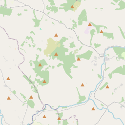
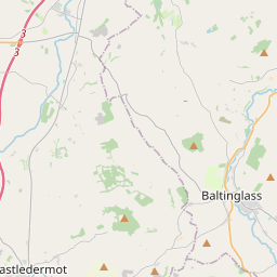
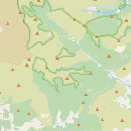
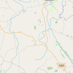
Léarscáil
It is located at 52° 49' 44" N, 6° 34' 53" W.
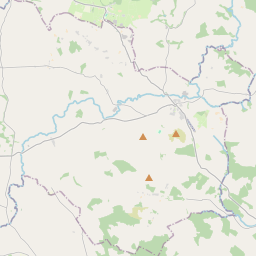
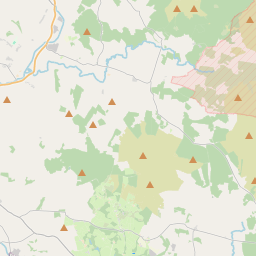
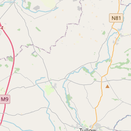
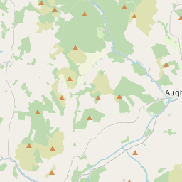
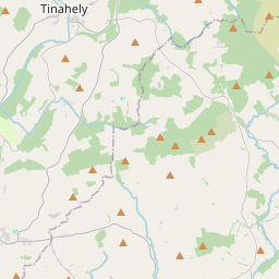
Leaflet | Map data © OpenStreetMap contributors
Achar
Clonmore has an area of 28.1 km² / 6,949.1 acres / 10.9 square miles.
Ceannbhailte
There are 27 townlands that we know about in . This represents 100% of all the area in .
- Bealach an tSléibhe 282 A, 2 R, 23 P
- Baile na Giolcaí 330 A, 1 R, 29 P
- An Baile Dubh 310 A, 3 R, 11 P
- Baile na Coille 491 A, 1 R, 10 P
- Baile Sheáin 604 A, 1 R, 20 P
- Bellmount 164 A, 3 R, 11 P
- Cnoc Bell 156 A, 0 R, 31 P
- An Cnoc Dubh 191 A, 3 R, 33 P
- An Cheathrú Riabhach 141 A, 0 R, 23 P
- Cluain Mhór 171 A, 3 R, 20 P
- Cúl an Lá 218 A, 2 R, 22 P
- Craobhchruinn 326 A, 0 R, 27 P
- Corrán Sceach Íochtarach 91 A, 0 R, 4 P
- Corrán Sceach Uachtarach 250 A, 3 R, 15 P
- Cnoc an Dáibhisigh 200 A, 1 R, 0 P
- Cnoc an Iolair 304 A, 3 R, 4 P
- Eaglehill Newton 161 A, 3 R, 15 P
- An Ghléib 17 A, 3 R, 8 P
- An tOileán 77 A, 1 R, 11 P
- Coill na Longfort 459 A, 2 R, 13 P
- Cnoc Bhaile Staghain 405 A, 3 R, 29 P
- Moing Mháid Íochtarach 304 A, 2 R, 16 P
- Moing Mháid Uachtarach 296 A, 0 R, 31 P
- An Seanbhaile 188 A, 0 R, 12 P
- Ráithín Driseoige 184 A, 2 R, 28 P
- An Mhóin Rua 301 A, 3 R, 8 P
- Vermount 313 A, 3 R, 35 P
 OpenStreetMap
Clonmore was added to OpenStreetMap on 2 Lún 2012 by NoelB.
- View
- Edit