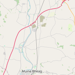
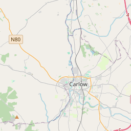
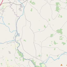
Based on data in OpenStreetMap, here is a list of townlands in the Electoral Division / ED / District Electoral Division of Templepeter.
Templepeter is in Co.
Templepeter is not matched up to Logainm.ie yet.
Léarscáil
It is located at 52° 45' 28" N, 6° 50' 59" W.


Leaflet | Map data © OpenStreetMap contributors
Achar
Templepeter has an area of 15.1 km² / 3,731.8 acres / 5.8 square miles.
Ceannbhailte
There are 18 townlands that we know about in . This represents 100% of all the area in .
- Baile an tSrutháin 77 A, 3 R, 0 P
- Baile an tSrutháin 620 A, 0 R, 31 P
- An Inse nó Móta Eilíse 152 A, 1 R, 20 P
- Baile Mhaodhóg 95 A, 1 R, 15 P
- Baile an Fhionraí 196 A, 3 R, 11 P
- An Baile Tarsna 785 A, 2 R, 16 P
- Cloch Mhic Sheoinín 174 A, 2 R, 0 P
- Gráig an Loig 35 A, 3 R, 38 P
- Gráig an Loig 268 A, 1 R, 12 P
- Gráig an Loig 141 A, 3 R, 21 P
- Gráig na Spideog 281 A, 2 R, 2 P
- Cill Bhreacáin 192 A, 1 R, 5 P
- Cill Bhreacáin 25 A, 1 R, 10 P
- Coill Chúil 294 A, 1 R, 22 P
- Cill Chá 182 A, 1 R, 19 P
- Teampall Pheadair 63 A, 2 R, 12 P
- Teampall Pheadair 105 A, 3 R, 24 P
- Tigh na Claise 37 A, 2 R, 24 P
 OpenStreetMap
Templepeter was added to OpenStreetMap on 8 Lún 2012 by NoelB.
- View
- Edit

 JOSM
JOSM iD
iD