Based on data in OpenStreetMap, here is a list of townlands in the Electoral Division / ED / District Electoral Division of Ballynahinch.
Ballynahinch is in Co.
Ballynahinch is not matched up to Logainm.ie yet.
Léarscáil
It is located at 52° 52' 33" N, 8° 40' 36" W.
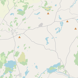
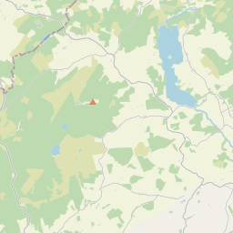

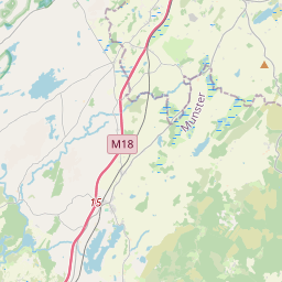
Leaflet | Map data © OpenStreetMap contributors
Achar
Ballynahinch has an area of 19.7 km² / 4,860.0 acres / 7.6 square miles.
Ceannbhailte
There are 14 townlands that we know about in . This represents 100% of all the area in .
- Eanach Néill 435 A, 1 R, 22 P
- Baile na hInse 717 A, 3 R, 20 P
- An Clochar 1078 A, 1 R, 11 P
- Cúil na hEille 136 A, 1 R, 27 P
- Creagán Coill 162 A, 0 R, 32 P
- Doire Chéad gCrann 78 A, 3 R, 16 P
- Drumcharley 181 A, 1 R, 21 P
- An Feartán Mór 295 A, 0 R, 36 P
- Caoldoire 364 A, 0 R, 9 P
- An Leathcheathrú Thuaidh 234 A, 3 R, 16 P
- An Baile Nua 138 A, 1 R, 2 P
- Ros Láithrigh 325 A, 0 R, 18 P
- Doire Airgid 536 A, 2 R, 35 P
- Tuaim 175 A, 1 R, 15 P
 OpenStreetMap
Ballynahinch was added to OpenStreetMap on 18 Noll 2016 by Teester.
- View
- Edit