Based on data in OpenStreetMap, here is a list of townlands in the Electoral Division / ED / District Electoral Division of Furroor.
Furroor is in Co.
Furroor is not matched up to Logainm.ie yet.
Léarscáil
It is located at 52° 47' 36" N, 9° 11' 30" W.
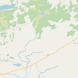
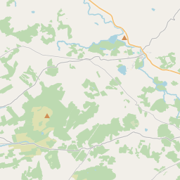
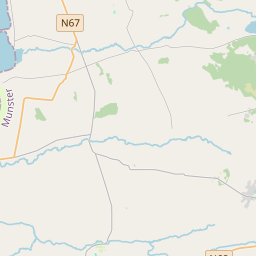
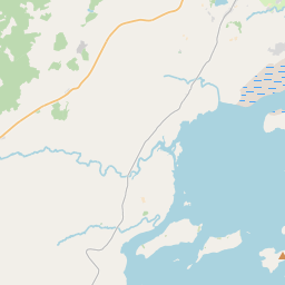
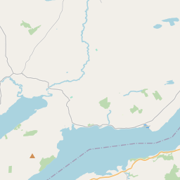


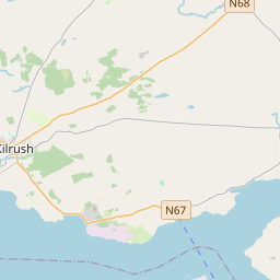
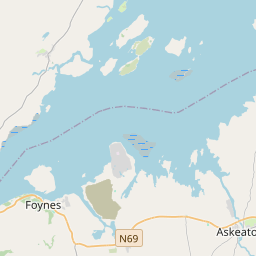
Leaflet | Map data © OpenStreetMap contributors
Achar
Furroor has an area of 37.3 km² / 9,217.2 acres / 14.4 square miles.
Ceannbhailte
There are 13 townlands that we know about in . This represents 100% of all the area in .
- Baile Uí Fhinn 461 A, 0 R, 18 P
- Buailteacha 784 A, 2 R, 12 P
- Buaile na gCnocán 728 A, 2 R, 35 P
- Buaile na Scraith 624 A, 0 R, 1 P
- Ceathrú na Craoibhe 838 A, 1 R, 21 P
- Forúir 847 A, 2 R, 13 P
- Illaunatoo 276 A, 1 R, 19 P
- Cill Cholaim 563 A, 2 R, 35 P
- An Cnoc Mór 134 A, 3 R, 24 P
- Leitreach 2068 A, 2 R, 10 P
- An Lios Rua 533 A, 1 R, 34 P
- Ré na gCiseach 646 A, 0 R, 38 P
- An Sián 709 A, 2 R, 5 P
 OpenStreetMap
Furroor was added to OpenStreetMap on 16 Noll 2016 by Teester.
- View
- Edit