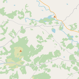
Based on data in OpenStreetMap, here is a list of townlands in the Electoral Division / ED / District Electoral Division of Kiltoraght.
Kiltoraght is in Co.
Kiltoraght is not matched up to Logainm.ie yet.
Léarscáil
It is located at 52° 57' 40" N, 9° 10' 7" W.


Leaflet | Map data © OpenStreetMap contributors
Achar
Kiltoraght has an area of 19.2 km² / 4,742.5 acres / 7.4 square miles.
Ceannbhailte
There are 19 townlands that we know about in . This represents 100% of all the area in .
- Ardrush 148 A, 0 R, 9 P
- Ballyclancahil 240 A, 0 R, 31 P
- Ballyculleeny 147 A, 3 R, 38 P
- Balybaun 289 A, 2 R, 16 P
- Cathair Mionáin Thiar 212 A, 3 R, 12 P
- An Clochar 495 A, 2 R, 37 P
- Derrynaheilla 108 A, 0 R, 36 P
- Drumeevin 522 A, 1 R, 13 P
- Gortkeel 41 A, 1 R, 22 P
- Kilmore North 498 A, 3 R, 11 P
- Kilmore South 198 A, 2 R, 28 P
- Knockaneden 138 A, 0 R, 6 P
- Cnoc na Gráige Thoir 101 A, 2 R, 17 P
- Knockroe 614 A, 3 R, 31 P
- Toormore 449 A, 1 R, 13 P
- Na Tulacha Íochtarach 143 A, 0 R, 31 P
- Na Tulacha Uachtarach 222 A, 2 R, 26 P
- Tulach Ghabhair 78 A, 0 R, 1 P
- Tullaloughaun 90 A, 3 R, 19 P
 OpenStreetMap
Kiltoraght was added to OpenStreetMap on 17 Noll 2016 by Teester.
- View
- Edit

 JOSM
JOSM iD
iD