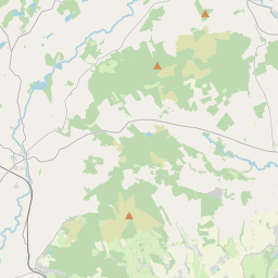
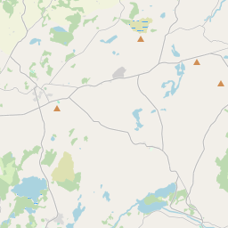
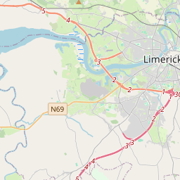
Based on data in OpenStreetMap, here is a list of townlands in the Electoral Division / ED / District Electoral Division of Mountievers.
Mountievers is in Co.
Mountievers is not matched up to Logainm.ie yet.
Léarscáil
It is located at 52° 43' 54" N, 8° 44' 18" W.


Leaflet | Map data © OpenStreetMap contributors
Achar
Mountievers has an area of 20.8 km² / 5,130.5 acres / 8.0 square miles.
Ceannbhailte
There are 29 townlands that we know about in . This represents 100% of all the area in .
- Baile an tSléibhe Thuaidh 28 A, 3 R, 18 P
- Baile an tSléibhe Theas 272 A, 1 R, 15 P
- Baile Uí Loideáin Thoir 85 A, 3 R, 0 P
- Baile Uí Loideáin Thiar 221 A, 0 R, 23 P
- Ballynbroughran 118 A, 3 R, 3 P
- Ballyroe 225 A, 3 R, 33 P
- Ballyroe 73 A, 2 R, 19 P
- Both na Binne Thuaidh 61 A, 0 R, 5 P
- Both na Binne Theas 289 A, 1 R, 36 P
- An Cheallúrach 158 A, 3 R, 38 P
- Cappanalaght 115 A, 2 R, 32 P
- Cappanalaght 87 A, 0 R, 21 P
- An Cheathrú Mhór 284 A, 0 R, 13 P
- Ceathrú an Eireabaill 65 A, 2 R, 0 P
- Ceathrú an Chaisleáin 211 A, 2 R, 29 P
- Clogach 171 A, 1 R, 23 P
- An Chorr Liath 531 A, 0 R, 38 P
- Fortwilliam 74 A, 3 R, 21 P
- Fortwilliam 106 A, 1 R, 10 P
- Cnoc na Croiche 262 A, 0 R, 38 P
- Gort na nÚll 75 A, 2 R, 20 P
- Cnoc an Fhraoigh 237 A, 0 R, 38 P
- An tOileán 53 A, 0 R, 9 P
- Coill na Críche 295 A, 3 R, 13 P
- An Cnoc Rua 89 A, 0 R, 34 P
- Leverstown 60 A, 3 R, 38 P
- Mountievers 353 A, 2 R, 34 P
- Mountievers 27 A, 1 R, 37 P
- Ré na Scamhóg 491 A, 0 R, 27 P
 OpenStreetMap
Mountievers was added to OpenStreetMap on 18 Noll 2016 by Teester.
- View
- Edit

 JOSM
JOSM iD
iD