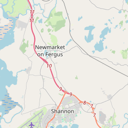
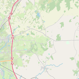
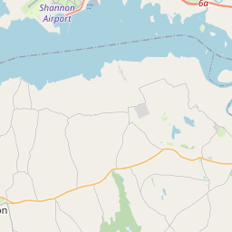
Based on data in OpenStreetMap, here is a list of townlands in the Electoral Division / ED / District Electoral Division of Sixmilebridge.
Sixmilebridge is in Co.
Sixmilebridge is not matched up to Logainm.ie yet.
Léarscáil
It is located at 52° 43' 38" N, 8° 48' 5" W.


Leaflet | Map data © OpenStreetMap contributors
Achar
Sixmilebridge has an area of 15.8 km² / 3,908.2 acres / 6.1 square miles.
Ceannbhailte
There are 20 townlands that we know about in . This represents 99.7% of all the area in .
- Ardchoill 260 A, 2 R, 5 P
- Ceapach an Chaisleáin 78 A, 1 R, 15 P
- Ceapach an Lóiste 347 A, 1 R, 1 P
- An Cheapach Thuaidh 188 A, 2 R, 28 P
- An Cheapach Theas 229 A, 1 R, 30 P
- Ceathrú an Liagáin 66 A, 3 R, 5 P
- An Chloch Liath 192 A, 0 R, 6 P
- Baile an Chnoic 51 A, 2 R, 29 P
- An Chorrleac 111 A, 2 R, 6 P
- Deerpark 116 A, 3 R, 3 P
- Deerpark 65 A, 3 R, 34 P
- Domhnach Broc 73 A, 1 R, 31 P
- Fíonach (Moloney) 254 A, 3 R, 19 P
- Fíonach (Wilson) 254 A, 1 R, 10 P
- An Pháirc Nua 199 A, 3 R, 37 P
- Ros mBeannchair 802 A, 2 R, 1 P
- Saoirse 64 A, 2 R, 8 P
- Droichead Abhann Ó gCearnaigh 290 A, 3 R, 2 P
- Gort na Tiobraide 64 A, 3 R, 36 P
- Currach an Bhata 183 A, 2 R, 16 P
 OpenStreetMap
Sixmilebridge was added to OpenStreetMap on 18 Noll 2016 by Teester.
- View
- Edit

 JOSM
JOSM iD
iD