Based on data in OpenStreetMap, here is a list of townlands in the Electoral Division / ED / District Electoral Division of Ballycottin.
Ballycottin is in Co.
Ballycottin is not matched up to Logainm.ie yet.
Léarscáil
It is located at 51° 50' 40" N, 8° 2' 16" W.
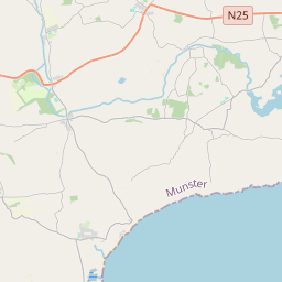
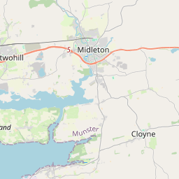
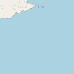
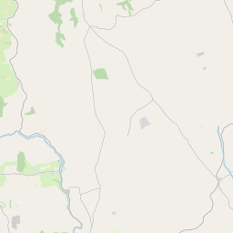
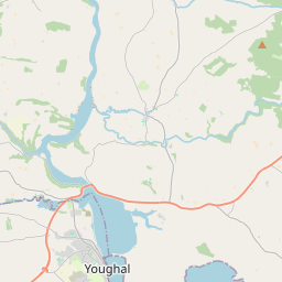
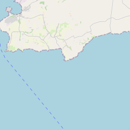

Leaflet | Map data © OpenStreetMap contributors
Achar
Ballycottin has an area of 18.0 km² / 4,449.9 acres / 7.0 square miles.
Ceannbhailte
There are 19 townlands that we know about in . This represents 99.8% of all the area in .
- Ard na hInse 120 A, 0 R, 15 P
- Baile an Gharráin 389 A, 3 R, 0 P
- Ballybane 490 A, 1 R, 29 P
- Baile Uí Bhráthar 657 A, 1 R, 30 P
- Ballycottin Island 12 A, 2 R, 8 P
- Ballycottin Island (Small) 10 A, 1 R, 39 P
- Ballycotton 428 A, 3 R, 9 P
- Ballygeany 236 A, 3 R, 24 P
- Baile Uí Longáin 173 A, 0 R, 10 P
- Ballynamona 102 A, 2 R, 9 P
- Ballynamona 204 A, 2 R, 16 P
- An Baile Trasna 66 A, 1 R, 5 P
- Carraig an Chuiltéaraigh 150 A, 2 R, 1 P
- Cill Deirg 206 A, 1 R, 8 P
- Móin na gCuradh 286 A, 2 R, 14 P
- Rúscach 232 A, 2 R, 15 P
- An Seangharraí 21 A, 3 R, 24 P
- An Seangharraí Thuaidh 444 A, 3 R, 3 P
- An Seangharraí Theas 207 A, 0 R, 27 P
 OpenStreetMap
Ballycottin was added to OpenStreetMap on 30 Ean 2017 by Teester.
- View
- Edit