Based on data in OpenStreetMap, here is a list of townlands in the Electoral Division / ED / District Electoral Division of Ballydehob.
Ballydehob is in Co.
Ballydehob is not matched up to Logainm.ie yet.
Léarscáil
It is located at 51° 32' 31" N, 9° 29' 30" W.
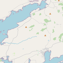
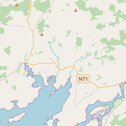

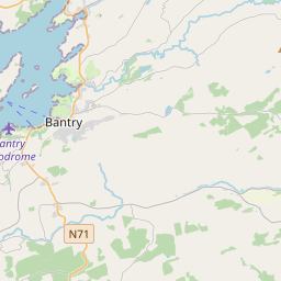
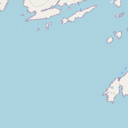
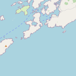
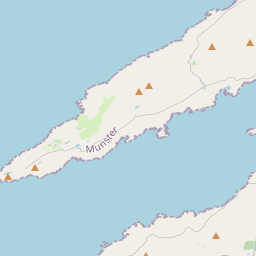

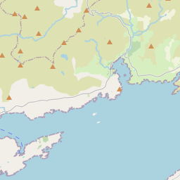
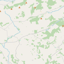
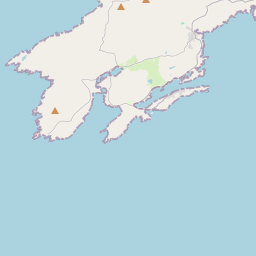
Leaflet | Map data © OpenStreetMap contributors
Achar
Ballydehob has an area of 28.7 km² / 7,085.3 acres / 11.1 square miles.
Ceannbhailte
There are 26 townlands that we know about in . This represents 100% of all the area in .
- Ard an Teannáin 119 A, 0 R, 9 P
- Baile Chumaisc 198 A, 3 R, 25 P
- Béal an Dá Chab 191 A, 0 R, 18 P
- An Cheapach Ghlas 433 A, 2 R, 8 P
- Ceapach na Caillí 227 A, 3 R, 30 P
- Carthy's Island 12 A, 0 R, 12 P
- Carthy's Island North 4 A, 0 R, 22 P
- Carthy's Island South 7 A, 1 R, 29 P
- Oileán an Chaisleáin 129 A, 2 R, 17 P
- An Chlais Mhór 229 A, 1 R, 37 P
- Cuar an Ghoirtín 291 A, 3 R, 26 P
- An Cuaisín 337 A, 2 R, 10 P
- Doirín na Trá 504 A, 2 R, 16 P
- Doire Chonaill 535 A, 2 R, 35 P
- Faill na Muc 387 A, 3 R, 35 P
- Gort na Móna 231 A, 3 R, 26 P
- An Goirtín Rua 233 A, 3 R, 32 P
- Horse Island 188 A, 2 R, 10 P
- An tOileán Rua 7 A, 2 R, 0 P
- Cill Bronóg 645 A, 2 R, 7 P
- Leitir 705 A, 1 R, 13 P
- Ré Chúil 405 A, 0 R, 26 P
- Ros Brain 284 A, 0 R, 11 P
- Seanbhoth 265 A, 2 R, 2 P
- An Stuaic 247 A, 2 R, 9 P
- Gort na Ceártan 265 A, 3 R, 13 P
 OpenStreetMap
Ballydehob was added to OpenStreetMap on 13 Ean 2017 by Teester.
- View
- Edit