Based on data in OpenStreetMap, here is a list of townlands in the Electoral Division / ED / District Electoral Division of Ballymodan.
Ballymodan is in Co.
Ballymodan is not matched up to Logainm.ie yet.
Léarscáil
It is located at 51° 43' 47" N, 8° 45' 24" W.
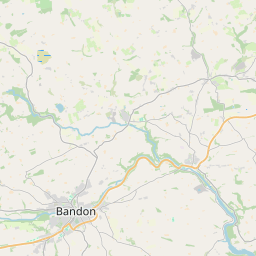
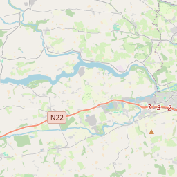
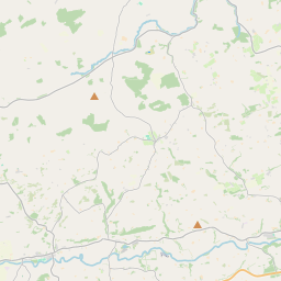
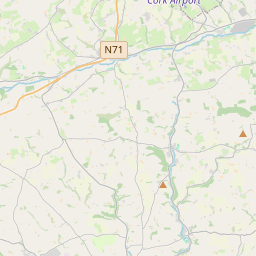
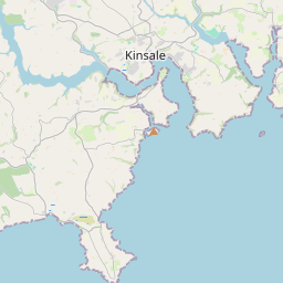
Leaflet | Map data © OpenStreetMap contributors
Achar
Ballymodan has an area of 28.4 km² / 7,019.3 acres / 11.0 square miles.
Ceannbhailte
There are 19 townlands that we know about in . This represents 94.2% of all the area in .
- Castlebernard 396 A, 1 R, 0 P
- Clancool Beg 536 A, 1 R, 2 P
- Clancool More 373 A, 3 R, 13 P
- Clasa Fraoigh 474 A, 1 R, 29 P
- Clogheenavodig 68 A, 3 R, 15 P
- Corravreeda East 256 A, 1 R, 32 P
- Corravreeda West 169 A, 3 R, 2 P
- Curravarahane 309 A, 1 R, 10 P
- Gaggan 599 A, 1 R, 25 P
- Garranbeg 171 A, 3 R, 25 P
- Gurteen 257 A, 2 R, 30 P
- Killountain 500 A, 0 R, 0 P
- Knockanreagh 140 A, 2 R, 26 P
- Knockaveale 586 A, 3 R, 33 P
- Knocknagarrane 463 A, 2 R, 22 P
- Lios na Phúca 513 A, 2 R, 13 P
- Meelon 428 A, 3 R, 13 P
- Moanarone 235 A, 0 R, 27 P
- Roundhill 127 A, 1 R, 28 P
 OpenStreetMap
Ballymodan was added to OpenStreetMap on 28 Ean 2017 by Teester.
- View
- Edit