Based on data in OpenStreetMap, here is a list of townlands in the Electoral Division / ED / District Electoral Division of Barleyhill.
Barleyhill is in Co.
Barleyhill is not matched up to Logainm.ie yet.
Léarscáil
It is located at 52° 15' 37" N, 8° 59' 10" W.
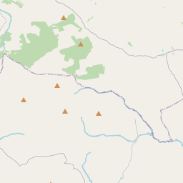
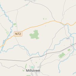
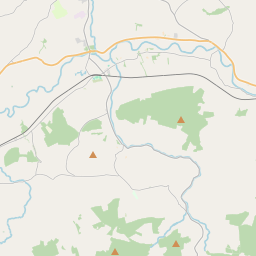
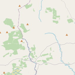
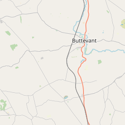
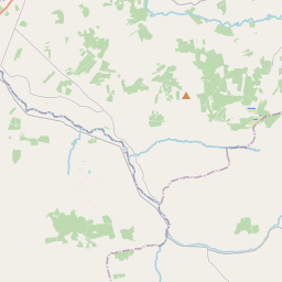
Leaflet | Map data © OpenStreetMap contributors
Achar
Barleyhill has an area of 37.2 km² / 9,197.9 acres / 14.4 square miles.
Ceannbhailte
There are 12 townlands that we know about in . This represents 100% of all the area in .
- Cnoc na hEorna 836 A, 3 R, 33 P
- Carraig an Chaisil 268 A, 0 R, 33 P
- An Chlais Rua 405 A, 3 R, 4 P
- Cnoc Spiúnán 1361 A, 2 R, 6 P
- An Cnoc Dubh Íochtarach 809 A, 3 R, 3 P
- An Cnoc Dubh Uachtarach 1202 A, 2 R, 5 P
- Cnoc Scamhán 908 A, 3 R, 16 P
- Cnoc na Sceiche 796 A, 1 R, 21 P
- Lios Maghair 756 A, 0 R, 1 P
- An Mhín Íseal 684 A, 3 R, 7 P
- An Mhín Rua 245 A, 2 R, 35 P
- An Tuar Ard 921 A, 1 R, 17 P
 OpenStreetMap
Barleyhill was added to OpenStreetMap on 21 Ean 2017 by Teester.
- View
- Edit