Based on data in OpenStreetMap, here is a list of townlands in the Electoral Division / ED / District Electoral Division of Corkbeg.
Corkbeg is in Co.
Corkbeg is not matched up to Logainm.ie yet.
Léarscáil
It is located at 51° 48' 59" N, 8° 13' 24" W.
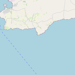
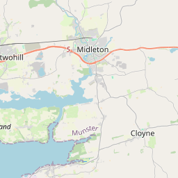
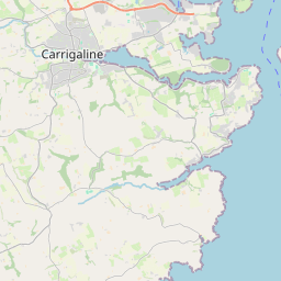
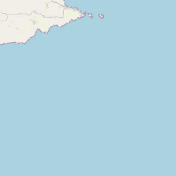
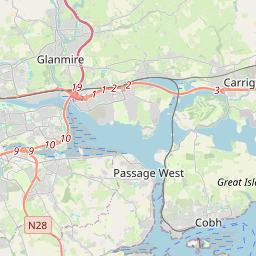
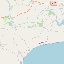
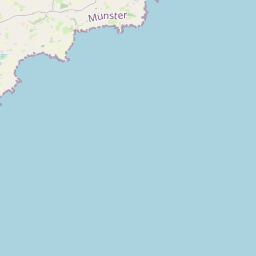

Leaflet | Map data © OpenStreetMap contributors
Achar
Corkbeg has an area of 18.7 km² / 4,623.7 acres / 7.2 square miles.
Ceannbhailte
There are 17 townlands that we know about in . This represents 100% of all the area in .
- Áth Fhada 475 A, 3 R, 30 P
- Ard na Buairce 343 A, 1 R, 15 P
- Baile an Charrúnaigh 327 A, 2 R, 28 P
- Baile Uí Dhubháin 441 A, 1 R, 33 P
- Baile an Chnoic 164 A, 1 R, 20 P
- Baile an Úcaire 392 A, 1 R, 12 P
- Baile Thaidhgín 156 A, 3 R, 32 P
- Baile Bhallúin 210 A, 2 R, 14 P
- Carlislefort 165 A, 2 R, 30 P
- Corcaigh Bheag 360 A, 0 R, 31 P
- Currach Tí Cloiche 122 A, 3 R, 17 P
- Fionnúir 407 A, 3 R, 39 P
- Gleann an Ghabha 87 A, 1 R, 2 P
- Gleann Bradach 115 A, 2 R, 7 P
- Baile Mhaonais 156 A, 1 R, 18 P
- Peasfield 17 A, 1 R, 10 P
- Trá Bholgan 677 A, 3 R, 3 P
 OpenStreetMap
Corkbeg was added to OpenStreetMap on 30 Ean 2017 by Teester.
- View
- Edit