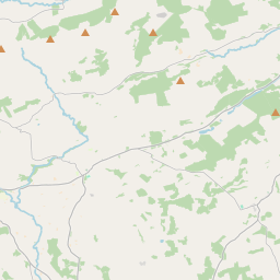
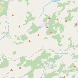
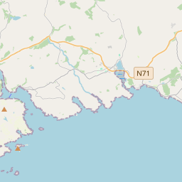
Based on data in OpenStreetMap, here is a list of townlands in the Electoral Division / ED / District Electoral Division of Dunmanway South.
Dunmanway South is in Co.
Dunmanway South is not matched up to Logainm.ie yet.
Léarscáil
It is located at 51° 42' 20" N, 9° 6' 56" W.


Leaflet | Map data © OpenStreetMap contributors
Achar
Dunmanway South has an area of 19.4 km² / 4,798.4 acres / 7.5 square miles.
Ceannbhailte
There are 16 townlands that we know about in . This represents 100% of all the area in .
- Baile Uí Shealbhaigh 574 A, 0 R, 11 P
- Páirc an tSrutháin 81 A, 2 R, 0 P
- Ceapach Uí Dhuinnín 105 A, 3 R, 10 P
- Dún Mánmhaí Theas 76 A, 1 R, 28 P
- An Garraí Bán 90 A, 1 R, 37 P
- Cill Bharra 1223 A, 3 R, 34 P
- Cill Rónáin Thoir 476 A, 0 R, 17 P
- Cill Rónáin Thiar 564 A, 1 R, 33 P
- An Cnoicín Buí 262 A, 3 R, 28 P
- Magh 92 A, 2 R, 38 P
- Meall an tSeangharraí 107 A, 0 R, 27 P
- Millín an Eanaigh 445 A, 1 R, 30 P
- Maigh Thamhnach 427 A, 3 R, 33 P
- An Sián 63 A, 2 R, 19 P
- Tóin an Phóire 174 A, 1 R, 24 P
- Bun an Chnoic 31 A, 1 R, 1 P
 OpenStreetMap
Dunmanway South was added to OpenStreetMap on 19 Ean 2017 by Teester.
- View
- Edit

 JOSM
JOSM iD
iD