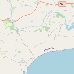
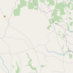
Based on data in OpenStreetMap, here is a list of townlands in the Electoral Division / ED / District Electoral Division of Garryvoe.
Garryvoe is in Co.
Garryvoe is not matched up to Logainm.ie yet.
Léarscáil
It is located at 51° 52' 39" N, 7° 59' 30" W.


Leaflet | Map data © OpenStreetMap contributors
Achar
Garryvoe has an area of 15.5 km² / 3,829.1 acres / 6.0 square miles.
Ceannbhailte
There are 16 townlands that we know about in . This represents 100% of all the area in .
- Baile an Choir Léith 143 A, 2 R, 34 P
- Baile an Bhuitléaraigh 304 A, 2 R, 8 P
- Baile Uí Chríonáin 511 A, 1 R, 1 P
- Ballyhimkin 319 A, 0 R, 21 P
- Gort an Sciobóil 79 A, 0 R, 3 P
- Garraí Bhoithe Íochtarach 471 A, 2 R, 31 P
- Garraí Bhoithe Uachtarach 241 A, 0 R, 16 P
- Ime Chise 33 A, 0 R, 0 P
- Kilcraheen 317 A, 0 R, 39 P
- Cill Chríodáin 504 A, 2 R, 10 P
- An Coinicéar 269 A, 3 R, 16 P
- An Mhóin Rua 111 A, 1 R, 5 P
- Móin Mhic Riabhaigh 193 A, 3 R, 27 P
- Ráth Achaidh 187 A, 1 R, 25 P
- Gort na Scoile 27 A, 1 R, 15 P
- Shanavagoon 113 A, 3 R, 32 P
 OpenStreetMap
Garryvoe was added to OpenStreetMap on 30 Ean 2017 by Teester.
- View
- Edit

 JOSM
JOSM iD
iD