Based on data in OpenStreetMap, here is a list of townlands in the Electoral Division / ED / District Electoral Division of Kilbrin.
Kilbrin is in Co.
Kilbrin is not matched up to Logainm.ie yet.
Léarscáil
It is located at 52° 13' 36" N, 8° 50' 57" W.
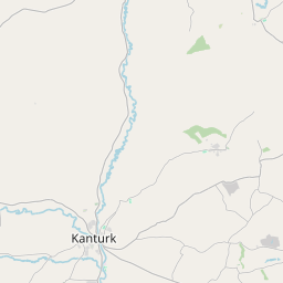
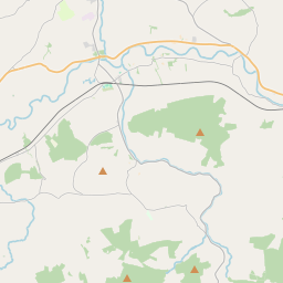
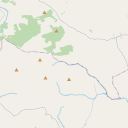
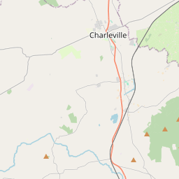
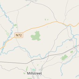
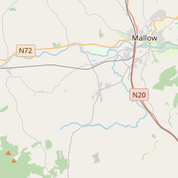
Leaflet | Map data © OpenStreetMap contributors
Achar
Kilbrin has an area of 18.2 km² / 4,505.5 acres / 7.0 square miles.
Ceannbhailte
There are 13 townlands that we know about in . This represents 100% of all the area in .
- An Baile Bán 487 A, 1 R, 18 P
- An Chlochbhuaile 421 A, 2 R, 22 P
- Cúil Mheathán 197 A, 2 R, 29 P
- Cúil na hUille 135 A, 1 R, 28 P
- Na Curraithe 486 A, 1 R, 39 P
- Dromainnín na nGabhar 404 A, 3 R, 37 P
- Garrán Mhic Gearóid 321 A, 1 R, 18 P
- An Garastún 450 A, 1 R, 25 P
- Knockagolig 533 A, 3 R, 5 P
- Cnoc an Lóthairt 313 A, 3 R, 39 P
- Cnoc Ard Fraoigh 374 A, 3 R, 35 P
- Meathánach 135 A, 1 R, 23 P
- Ráth na gCeard 241 A, 3 R, 33 P
 OpenStreetMap
Kilbrin was added to OpenStreetMap on 26 Ean 2017 by Teester.
- View
- Edit