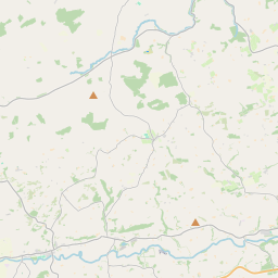
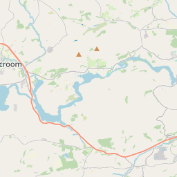
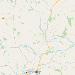
Based on data in OpenStreetMap, here is a list of townlands in the Electoral Division / ED / District Electoral Division of Kilbrogan.
Kilbrogan is in Co.
Kilbrogan is not matched up to Logainm.ie yet.
Léarscáil
It is located at 51° 45' 30" N, 8° 47' 20" W.


Leaflet | Map data © OpenStreetMap contributors
Achar
Kilbrogan has an area of 35.3 km² / 8,712.4 acres / 13.6 square miles.
Ceannbhailte
There are 23 townlands that we know about in . This represents 94.4% of all the area in .
- Calatroim 610 A, 3 R, 22 P
- An Cheathrú Thoir 274 A, 0 R, 39 P
- An Cheathrú Thiar 534 A, 0 R, 9 P
- Cora Chloch 364 A, 3 R, 14 P
- Doire Cúile 408 A, 3 R, 7 P
- An Goirtín 579 A, 2 R, 23 P
- An Chill Bheag Thuaidh 216 A, 3 R, 16 P
- An Chill Bheag Theas 183 A, 0 R, 16 P
- Cill Brógáin 371 A, 3 R, 15 P
- Cill Eoghain 507 A, 2 R, 8 P
- An Láithreach 612 A, 0 R, 21 P
- Lios na Banraí 228 A, 1 R, 25 P
- Airgidín 177 A, 0 R, 28 P
- Mala Géitinn 328 A, 3 R, 35 P
- Magh Bheag Thoir 219 A, 2 R, 7 P
- Magh Bheag Thiar 110 A, 1 R, 2 P
- Magh Mhór Thoir 167 A, 1 R, 30 P
- Magh Mhór Thiar 257 A, 3 R, 29 P
- Míseal 605 A, 1 R, 11 P
- Doire Garbh Thoir 419 A, 3 R, 18 P
- Doire Garbh Thiar 355 A, 0 R, 17 P
- Seanach 471 A, 0 R, 37 P
- An Tulach Ghlas 217 A, 3 R, 0 P
 OpenStreetMap
Kilbrogan was added to OpenStreetMap on 28 Ean 2017 by Teester.
- View
- Edit

 JOSM
JOSM iD
iD