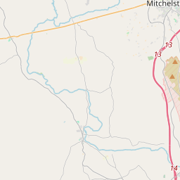
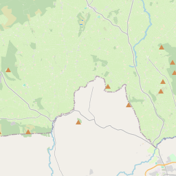
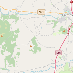
Based on data in OpenStreetMap, here is a list of townlands in the Electoral Division / ED / District Electoral Division of Kilphelan.
Kilphelan is in Co.
Kilphelan is not matched up to Logainm.ie yet.
Léarscáil
It is located at 52° 13' 44" N, 8° 18' 20" W.


Leaflet | Map data © OpenStreetMap contributors
Achar
Kilphelan has an area of 21.0 km² / 5,197.2 acres / 8.1 square miles.
Ceannbhailte
There are 18 townlands that we know about in . This represents 100% of all the area in .
- Ballintantassig 102 A, 3 R, 31 P
- Baile Adac Thuaidh 196 A, 3 R, 17 P
- Baile Adac Theas 114 A, 0 R, 5 P
- An Baile Beag 342 A, 0 R, 20 P
- Ballykenly 135 A, 1 R, 5 P
- Ballynacaheragh 247 A, 3 R, 37 P
- Bán an Iarla 58 A, 2 R, 30 P
- Caherdrinny 847 A, 1 R, 32 P
- Curragheen 199 A, 1 R, 39 P
- Curraghoo Beg 296 A, 3 R, 9 P
- Dromleigh 318 A, 2 R, 39 P
- Baile an Phleimeannaigh 545 A, 0 R, 15 P
- Gort na hUamhan 572 A, 0 R, 35 P
- Killeenemer 415 A, 3 R, 8 P
- Kilnadrow 183 A, 1 R, 13 P
- Kilphelan 123 A, 0 R, 14 P
- Coill Trisleáin 267 A, 2 R, 4 P
- Ceathrú an Notaigh 229 A, 2 R, 36 P
 OpenStreetMap
Kilphelan was added to OpenStreetMap on 27 Ean 2017 by Teester.
- View
- Edit

 JOSM
JOSM iD
iD