Based on data in OpenStreetMap, here is a list of townlands in the Electoral Division / ED / District Electoral Division of Knocktemple.
Knocktemple is in Co.
Knocktemple is not matched up to Logainm.ie yet.
Léarscáil
It is located at 52° 15' 59" N, 8° 50' 57" W.
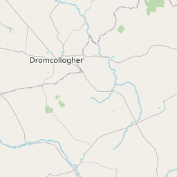
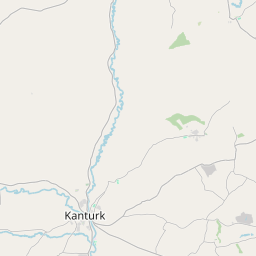
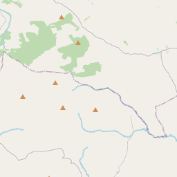
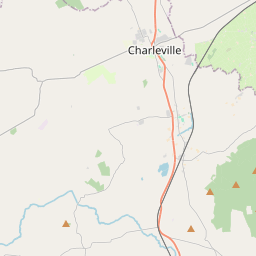
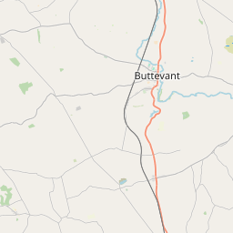
Leaflet | Map data © OpenStreetMap contributors
Achar
Knocktemple has an area of 21.4 km² / 5,297.3 acres / 8.3 square miles.
Ceannbhailte
There are 15 townlands that we know about in . This represents 100% of all the area in .
- Béal Átha Bathlach 1076 A, 2 R, 14 P
- Ceapach na nGall 507 A, 1 R, 7 P
- An Coimín 186 A, 2 R, 0 P
- Cillín an Chrónáin 382 A, 1 R, 36 P
- Coill Bhaile Mhurchaidh Thuaidh 135 A, 1 R, 39 P
- Coill Bhaile Mhurchaidh Theas 344 A, 3 R, 2 P
- Cill Bheircheirt 901 A, 3 R, 19 P
- Cill Fhíonáin 242 A, 3 R, 16 P
- Cneamhchoill 348 A, 0 R, 8 P
- Cnoc an Éide 161 A, 1 R, 30 P
- Cnoc Cluana 114 A, 0 R, 8 P
- Cnoc na Muc 230 A, 1 R, 35 P
- An Ladhar 76 A, 1 R, 15 P
- Lios na Gréine 230 A, 2 R, 30 P
- An Tulach Dhubh 358 A, 1 R, 24 P
 OpenStreetMap
Knocktemple was added to OpenStreetMap on 26 Ean 2017 by Teester.
- View
- Edit