Based on data in OpenStreetMap, here is a list of townlands in the Electoral Division / ED / District Electoral Division of Leighmoney.
Leighmoney is in Co.
Leighmoney is not matched up to Logainm.ie yet.
Léarscáil
It is located at 51° 44' 40" N, 8° 35' 32" W.
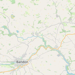
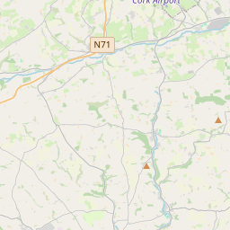
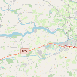
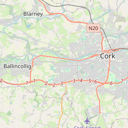
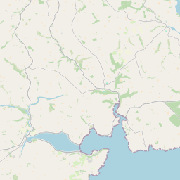
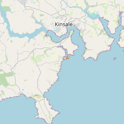
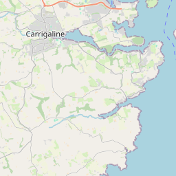
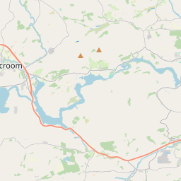
Leaflet | Map data © OpenStreetMap contributors
Achar
Leighmoney has an area of 20.2 km² / 4,979.9 acres / 7.8 square miles.
Ceannbhailte
There are 22 townlands that we know about in . This represents 97.8% of all the area in .
- Baile Dhonncha 223 A, 2 R, 34 P
- Ballynamaul 281 A, 3 R, 9 P
- Ballyregan Beg 187 A, 3 R, 17 P
- Ballyregan More 435 A, 1 R, 22 P
- Carhoo North 161 A, 0 R, 19 P
- Carhoo South 174 A, 1 R, 24 P
- An Cloichín 249 A, 0 R, 30 P
- Doire na gCaisí 426 A, 2 R, 34 P
- Horsehill Beg 10 A, 3 R, 19 P
- Horsehill More (North) 344 A, 0 R, 13 P
- Horsehill More (South) 19 A, 1 R, 3 P
- Knocksmall 97 A, 2 R, 7 P
- An Leathfhearann 77 A, 3 R, 36 P
- Leighmoney Beg 142 A, 1 R, 4 P
- Leighmoney More 352 A, 0 R, 16 P
- An Lios Ard 204 A, 1 R, 3 P
- Lios Síoda 226 A, 1 R, 20 P
- Puckane 120 A, 0 R, 26 P
- An Seanbhaile 176 A, 1 R, 38 P
- Ship-Pool 235 A, 3 R, 10 P
- Sceach na nGabhar 264 A, 1 R, 3 P
- Sliabh Gallán 460 A, 2 R, 19 P
 OpenStreetMap
Leighmoney was added to OpenStreetMap on 28 Ean 2017 by Teester.
- View
- Edit