Based on data in OpenStreetMap, here is a list of townlands in the Electoral Division / ED / District Electoral Division of Leitrim.
Leitrim is in Co.
Leitrim is not matched up to Logainm.ie yet.
Léarscáil
It is located at 52° 9' 56" N, 8° 11' 28" W.
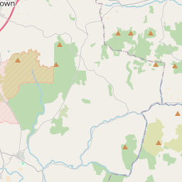
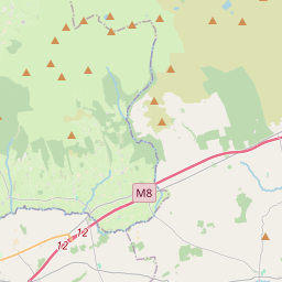
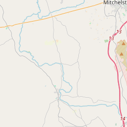
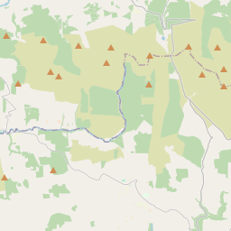
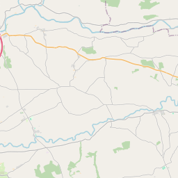
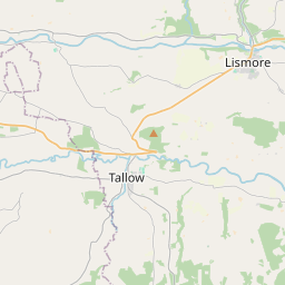
Leaflet | Map data © OpenStreetMap contributors
Achar
Leitrim has an area of 17.2 km² / 4,256.2 acres / 6.7 square miles.
Ceannbhailte
There are 11 townlands that we know about in . This represents 100% of all the area in .
- Baile na Leacan 533 A, 2 R, 8 P
- Baile na Páirce Thuaidh 173 A, 0 R, 28 P
- Baile na Páirce Theas 123 A, 3 R, 21 P
- Cúil an Lisín 266 A, 1 R, 1 P
- Cill Mhuire Thuaidh 570 A, 3 R, 8 P
- Cill Mhuire Theas 524 A, 2 R, 31 P
- Cnoc an Sceacháin 224 A, 2 R, 7 P
- An Choill Bheag 144 A, 2 R, 39 P
- Liatroim 375 A, 0 R, 25 P
- Maigh Chróine Íochtarach 576 A, 1 R, 22 P
- Maigh Chróine Uachtarach 742 A, 3 R, 35 P
 OpenStreetMap
Leitrim was added to OpenStreetMap on 27 Ean 2017 by Teester.
- View
- Edit