Based on data in OpenStreetMap, here is a list of townlands in the Electoral Division / ED / District Electoral Division of Skahanagh.
Skahanagh is in Co.
Skahanagh is not matched up to Logainm.ie yet.
Léarscáil
It is located at 52° 15' 46" N, 8° 32' 6" W.
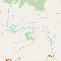
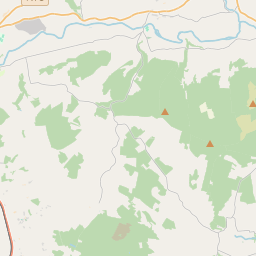
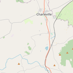
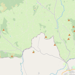
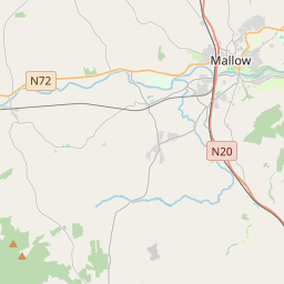
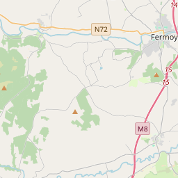
Leaflet | Map data © OpenStreetMap contributors
Achar
Skahanagh has an area of 23.6 km² / 5,825.0 acres / 9.1 square miles.
Ceannbhailte
There are 11 townlands that we know about in . This represents 100% of all the area in .
- Baile an Fhraoigh 251 A, 2 R, 19 P
- Baile an tSléibhe Thuaidh 953 A, 2 R, 35 P
- Baile an tSléibhe Theas 939 A, 3 R, 2 P
- An Charcair 235 A, 2 R, 29 P
- An Charcair Láir 516 A, 0 R, 24 P
- An Charcair Thuaidh 1110 A, 2 R, 23 P
- Cluas Dubhóige 272 A, 2 R, 17 P
- Garraí Cheantóige 334 A, 1 R, 15 P
- Cill Chonchúir 197 A, 2 R, 26 P
- An Sceachánach Bheag 462 A, 1 R, 1 P
- An Sceachánach Mhór 550 A, 2 R, 10 P
 OpenStreetMap
Skahanagh was added to OpenStreetMap on 27 Ean 2017 by Teester.
- View
- Edit