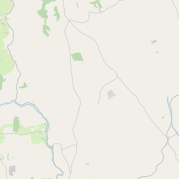
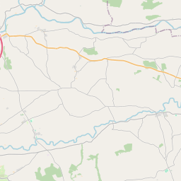
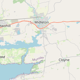
Based on data in OpenStreetMap, here is a list of townlands in the Electoral Division / ED / District Electoral Division of Templebodan.
Templebodan is in Co.
Templebodan is not matched up to Logainm.ie yet.
Léarscáil
It is located at 52° 0' 55" N, 8° 12' 25" W.


Leaflet | Map data © OpenStreetMap contributors
Achar
Templebodan has an area of 29.8 km² / 7,362.2 acres / 11.5 square miles.
Ceannbhailte
There are 24 townlands that we know about in . This represents 100% of all the area in .
- Ballaheen 332 A, 0 R, 32 P
- Baile an Churraigh 418 A, 1 R, 8 P
- An Baile Ard 181 A, 3 R, 35 P
- Baile Eire 298 A, 2 R, 14 P
- Baile Uí Uaithnín 108 A, 0 R, 15 P
- Baile an Riobardaigh 28 A, 1 R, 37 P
- Barr Fothana 961 A, 3 R, 20 P
- Diméin Currach Uí Dhúgáin 175 A, 0 R, 1 P
- Currach Uí Dhúgáin Thoir 35 A, 3 R, 34 P
- Currach Uí Dhúgáin Thiar 104 A, 1 R, 12 P
- Cúil Chneadáin Thuaidh 118 A, 1 R, 36 P
- Cúil Chneadáin Theas 68 A, 2 R, 12 P
- Currach Dhiarmada 719 A, 0 R, 34 P
- Dún Dolraic Thoir 394 A, 2 R, 2 P
- Dún Dolraic Thiar 144 A, 3 R, 33 P
- Cnoc na gCaor 48 A, 0 R, 2 P
- Cnoc na gCloch Geal 102 A, 3 R, 26 P
- Cnoc na Sceach 84 A, 0 R, 31 P
- An tSeanchúirt 471 A, 0 R, 20 P
- Cúil na Pise 1211 A, 1 R, 3 P
- Port an Bharraigh 145 A, 1 R, 31 P
- Ráth Ghobáin 576 A, 1 R, 20 P
- An Riasc 377 A, 3 R, 1 P
- Teampall Buadáin 254 A, 1 R, 36 P
 OpenStreetMap
Templebodan was added to OpenStreetMap on 1 Feabh 2017 by Teester.
- View
- Edit

 JOSM
JOSM iD
iD