Based on data in OpenStreetMap, here is a list of townlands in the Electoral Division / ED / District Electoral Division of Templemary.
Templemary is in Co.
Templemary is not matched up to Logainm.ie yet.
Léarscáil
It is located at 52° 13' 7" N, 8° 45' 20" W.
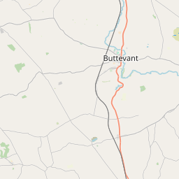
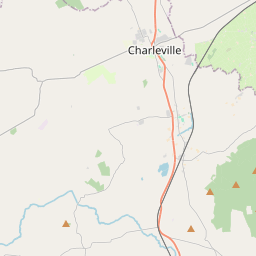
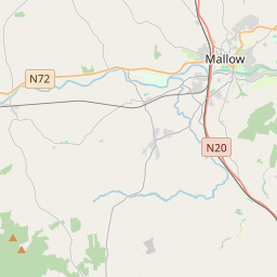
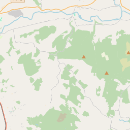
Leaflet | Map data © OpenStreetMap contributors
Achar
Templemary has an area of 18.3 km² / 4,517.5 acres / 7.1 square miles.
Ceannbhailte
There are 13 townlands that we know about in . This represents 100% of all the area in .
- Ard an Phrióra 792 A, 2 R, 30 P
- Ard Sciath 384 A, 0 R, 33 P
- Ballycushen 191 A, 3 R, 5 P
- An Currach Glas 323 A, 2 R, 0 P
- Draighneach Thoir 232 A, 1 R, 26 P
- Draighneach Thiar 197 A, 1 R, 31 P
- Fearann Mhic Coitir 165 A, 0 R, 9 P
- Garrán na gCiabhóg 228 A, 3 R, 34 P
- Garryduff 391 A, 0 R, 14 P
- Lios Grífín 310 A, 2 R, 4 P
- Polnareagha 140 A, 1 R, 2 P
- Teampall Muire 753 A, 0 R, 4 P
- Tigh na Scairte 406 A, 3 R, 10 P
 OpenStreetMap
Templemary was added to OpenStreetMap on 26 Ean 2017 by Teester.
- View
- Edit