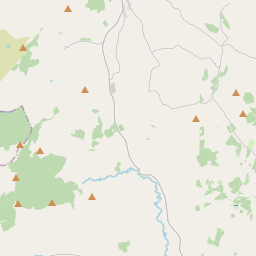
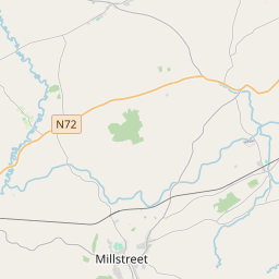
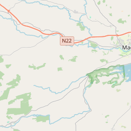
Based on data in OpenStreetMap, here is a list of townlands in the Electoral Division / ED / District Electoral Division of Ullanes.
Ullanes is in Co.
Ullanes is not matched up to Logainm.ie yet.
Léarscáil
It is located at 51° 56' 57" N, 9° 6' 15" W.


Leaflet | Map data © OpenStreetMap contributors
Achar
Ullanes has an area of 31.4 km² / 7,758.8 acres / 12.1 square miles.
Ceannbhailte
There are 14 townlands that we know about in . This represents 100% of all the area in .
- An tAirdín 360 A, 0 R, 22 P
- Baile Mhic Íre 464 A, 0 R, 12 P
- Barr an tSeanchnoic 384 A, 3 R, 32 P
- Cúil an Bhuacaigh 928 A, 0 R, 10 P
- Cúil na Cathrach 308 A, 3 R, 22 P
- Daingean na Saileach 708 A, 2 R, 33 P
- Gleann Daimh 1376 A, 3 R, 30 P
- Cnoc an Iúir 617 A, 1 R, 36 P
- Leaba Dhiarmada 537 A, 3 R, 17 P
- Leac Fhínín 308 A, 1 R, 6 P
- Lios Carragáin 535 A, 3 R, 37 P
- Tonn Láin 253 A, 0 R, 28 P
- Na hUláin Thoir 357 A, 3 R, 32 P
- Na hUláin Thiar 616 A, 1 R, 4 P
 OpenStreetMap
Ullanes was added to OpenStreetMap on 14 Ean 2017 by Teester.
- View
- Edit

 JOSM
JOSM iD
iD