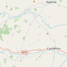
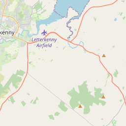
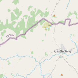
Based on data in OpenStreetMap, here is a list of townlands in the Electoral Division / ED / District Electoral Division of Castlefinn.
Castlefinn is in Co.
Castlefinn is not matched up to Logainm.ie yet.
Léarscáil
It is located at 54° 49' 16" N, 7° 36' 38" W.


Leaflet | Map data © OpenStreetMap contributors
Achar
Castlefinn has an area of 24.6 km² / 6,074.8 acres / 9.5 square miles.
Ceannbhailte
There are 24 townlands that we know about in . This represents 100% of all the area in .
- An Baile Loiscthe 7 A, 3 R, 22 P
- Ballylast 154 A, 2 R, 19 P
- Blackrepentance 96 A, 0 R, 18 P
- Breaghy 176 A, 2 R, 33 P
- Carn Eoghain 1667 A, 2 R, 29 P
- Caisleán na Finne 153 A, 0 R, 10 P
- Cloghfin 230 A, 2 R, 26 P
- Corr Chuilinn 52 A, 2 R, 21 P
- Donaghmore Glebe 220 A, 2 R, 35 P
- Dooghan 116 A, 3 R, 2 P
- Gortfad 261 A, 3 R, 33 P
- Fearann Graham 285 A, 1 R, 26 P
- Knockrawer 62 A, 3 R, 19 P
- Lisnabert 134 A, 0 R, 17 P
- Machaire Bheithe 376 A, 3 R, 12 P
- Magherareagh 216 A, 1 R, 37 P
- Magherashanvally 193 A, 1 R, 27 P
- Rúscaigh Íochtarach 135 A, 2 R, 27 P
- Rúscaigh Uachtarach 737 A, 1 R, 29 P
- An Seisíoch 103 A, 3 R, 34 P
- An Seisíoch 107 A, 0 R, 8 P
- An Seisíoch 285 A, 2 R, 18 P
- Stranamuck 104 A, 3 R, 30 P
- An Tamhnach Chrom 192 A, 0 R, 20 P
 OpenStreetMap
Castlefinn was added to OpenStreetMap on 21 Ean 2017 by Boggedy.
- View
- Edit

 JOSM
JOSM iD
iD