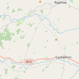
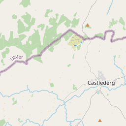
Based on data in OpenStreetMap, here is a list of townlands in the Electoral Division / ED / District Electoral Division of Cloghard.
Cloghard is in Co.
Cloghard is not matched up to Logainm.ie yet.
Léarscáil
It is located at 54° 46' 25" N, 7° 37' 34" W.


Leaflet | Map data © OpenStreetMap contributors
Achar
Cloghard has an area of 21.1 km² / 5,212.9 acres / 8.1 square miles.
Ceannbhailte
There are 19 townlands that we know about in . This represents 100% of all the area in .
- Baile Buna 328 A, 0 R, 24 P
- Ballygonigan 154 A, 1 R, 22 P
- Béal Ailt 495 A, 1 R, 13 P
- Ceathrú na nDobhar 135 A, 2 R, 3 P
- Caiseal Fhinn 207 A, 3 R, 28 P
- An Chloch Ard 91 A, 0 R, 22 P
- An Diméin 113 A, 3 R, 4 P
- Drummurphy 385 A, 3 R, 30 P
- Dún Gormáin 253 A, 2 R, 38 P
- Egglybane 365 A, 3 R, 8 P
- Gortnamuck 584 A, 1 R, 27 P
- Lisnamulligan 259 A, 1 R, 14 P
- Mín Luachra 310 A, 1 R, 32 P
- Mullanboy 133 A, 1 R, 12 P
- Raws Lower 235 A, 3 R, 4 P
- Raws Upper 458 A, 2 R, 4 P
- An Taobh Breac 310 A, 2 R, 0 P
- Tír an Uisce 250 A, 0 R, 35 P
- Tirnagushoge 138 A, 2 R, 7 P
 OpenStreetMap
Cloghard was added to OpenStreetMap on 21 Ean 2017 by Boggedy.
- View
- Edit

 JOSM
JOSM iD
iD