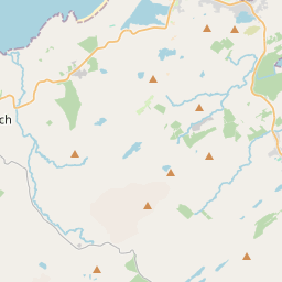
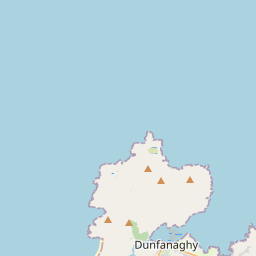
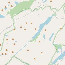
Based on data in OpenStreetMap, here is a list of townlands in the Electoral Division / ED / District Electoral Division of Na Croisbhealaí.
Na Croisbhealaí is in Co.
Na Croisbhealaí is not matched up to Logainm.ie yet.
Léarscáil
It is located at 55° 5' 35" N, 8° 2' 18" W.


Leaflet | Map data © OpenStreetMap contributors
Achar
Na Croisbhealaí has an area of 93.9 km² / 23,192.0 acres / 36.2 square miles.
Ceannbhailte
There are 27 townlands that we know about in . This represents 100% of all the area in .
- An Fál Carrach 185 A, 0 R, 17 P
- An Glaidhb 54 A, 0 R, 22 P
- Baile an Easa 381 A, 2 R, 17 P
- Baile Chonaill 592 A, 2 R, 13 P
- Baile na Bó 524 A, 3 R, 22 P
- Ballintemple 271 A, 0 R, 26 P
- Sliabh Bhaile na Bó 1082 A, 2 R, 37 P
- Ballyness Mountain 1306 A, 2 R, 26 P
- Béal an Átha 160 A, 2 R, 30 P
- Bunatreesruhan 1975 A, 0 R, 38 P
- An Cheathrú Cheanainn 440 A, 1 R, 23 P
- Cill Ulta 442 A, 3 R, 6 P
- Clonbara 315 A, 0 R, 15 P
- Craigtown 144 A, 2 R, 23 P
- Doire Leathan 2318 A, 1 R, 4 P
- Doire Uí Fhríl 776 A, 3 R, 36 P
- Barr of Ballyconnell 1132 A, 3 R, 15 P
- Devlin 2190 A, 1 R, 35 P
- Doire Uí Fhril 756 A, 0 R, 30 P
- Droim na Tine 607 A, 3 R, 30 P
- Drumnatinny Barr 697 A, 1 R, 22 P
- An Dún Mór 1740 A, 3 R, 5 P
- Mín Chúil an tSeascainn 188 A, 1 R, 34 P
- Maigh Ráithe 1705 A, 0 R, 11 P
- Ranaghmore Island 12 A, 1 R, 16 P
- Ráith 1770 A, 0 R, 26 P
- Tullaghobegly Scotch 1417 A, 1 R, 0 P
 OpenStreetMap
Na Croisbhealaí was added to OpenStreetMap on 5 Feabh 2017 by Boggedy.
- View
- Edit

 JOSM
JOSM iD
iD