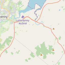
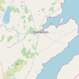
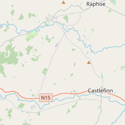
Based on data in OpenStreetMap, here is a list of townlands in the Electoral Division / ED / District Electoral Division of An Fhaiche Ghlas.
An Fhaiche Ghlas is in Co.
An Fhaiche Ghlas is not matched up to Logainm.ie yet.
Léarscáil
It is located at 54° 53' 13" N, 7° 31' 57" W.


Leaflet | Map data © OpenStreetMap contributors
Achar
An Fhaiche Ghlas has an area of 19.0 km² / 4,707.3 acres / 7.4 square miles.
Ceannbhailte
There are 19 townlands that we know about in . This represents 100% of all the area in .
- Ballyboe 169 A, 2 R, 21 P
- Baile Uí Leannáin 262 A, 1 R, 39 P
- Broadlea 172 A, 3 R, 12 P
- Carnshannagh 275 A, 2 R, 27 P
- Carrickdawson 404 A, 3 R, 27 P
- Coolaghy 197 A, 2 R, 21 P
- Creacha Dubha 567 A, 2 R, 31 P
- Dromore Big 259 A, 1 R, 24 P
- Dromore Little 73 A, 3 R, 1 P
- Drumbeg 94 A, 3 R, 14 P
- Drumcrow 222 A, 1 R, 28 P
- Drumfad 162 A, 2 R, 10 P
- Drumnabratty 87 A, 3 R, 3 P
- Drumucklagh 179 A, 0 R, 18 P
- An Fhaiche Ghlas 388 A, 1 R, 23 P
- Lettergull 561 A, 3 R, 4 P
- Listannagh 172 A, 2 R, 3 P
- Tulaigh Rap 166 A, 1 R, 17 P
- Woodlands 287 A, 1 R, 35 P
 OpenStreetMap
An Fhaiche Ghlas was added to OpenStreetMap on 20 Feabh 2017 by Boggedy.
- View
- Edit

 JOSM
JOSM iD
iD