Based on data in OpenStreetMap, here is a list of townlands in the Electoral Division / ED / District Electoral Division of Gleann Gheis.
Gleann Gheis is in Co.
Gleann Gheis is not matched up to Logainm.ie yet.
Léarscáil
It is located at 54° 44' 48" N, 8° 27' 59" W.
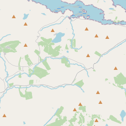
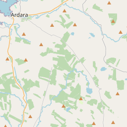
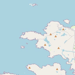
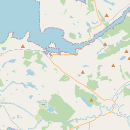
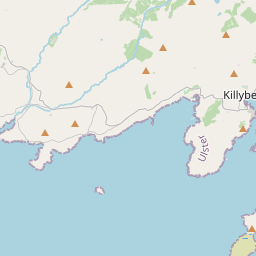
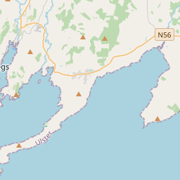
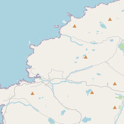
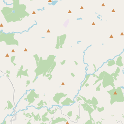

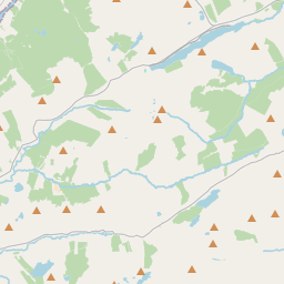
Leaflet | Map data © OpenStreetMap contributors
Achar
Gleann Gheis has an area of 39.0 km² / 9,635.2 acres / 15.1 square miles.
Ceannbhailte
There are 30 townlands that we know about in . This represents 100.0% of all the area in .
- Áighe 761 A, 0 R, 5 P
- Bellaganny 49 A, 3 R, 39 P
- Breacaigh 232 A, 2 R, 10 P
- An Chloch Bhuí 521 A, 2 R, 3 P
- Common 155 A, 0 R, 12 P
- Sliabh Chamáin 161 A, 3 R, 39 P
- An Chrannóg Bhuí 380 A, 1 R, 29 P
- Cromghlinn 201 A, 1 R, 0 P
- Droim an Chatha 115 A, 3 R, 2 P
- Drumalough 170 A, 0 R, 23 P
- Droim Fhiorthainn 604 A, 3 R, 18 P
- Eadargóil 191 A, 0 R, 33 P
- Garbhchoill 151 A, 3 R, 31 P
- Gleann Gheis 1624 A, 0 R, 29 P
- Cill Chaisil 126 A, 2 R, 18 P
- Cill Lios Diamhair 70 A, 2 R, 29 P
- Cionn Uchtaigh 204 A, 2 R, 4 P
- Lios Ciaracháin 339 A, 1 R, 22 P
- Leamhchoill 120 A, 1 R, 39 P
- Mín na bPoll 193 A, 0 R, 11 P
- Meenagolan 817 A, 2 R, 34 P
- Mín na Coilleadh 462 A, 1 R, 33 P
- Mín na Péacaí 300 A, 1 R, 14 P
- Mín na Téighe 368 A, 2 R, 3 P
- Mínte Seisce 339 A, 1 R, 8 P
- Mullanacarry 54 A, 2 R, 14 P
- Baile an Bhúrcaigh 151 A, 3 R, 35 P
- Roechrow 351 A, 3 R, 27 P
- Sceadamán 204 A, 1 R, 34 P
- Seanachán 205 A, 3 R, 37 P
 OpenStreetMap
Gleann Gheis was added to OpenStreetMap on 24 Ean 2017 by Boggedy.
- View
- Edit