Based on data in OpenStreetMap, here is a list of townlands in the Electoral Division / ED / District Electoral Division of Cill Charthaigh.
Cill Charthaigh is in Co.
Cill Charthaigh is not matched up to Logainm.ie yet.
Léarscáil
It is located at 54° 38' 53" N, 8° 36' 23" W.
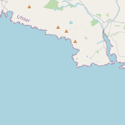
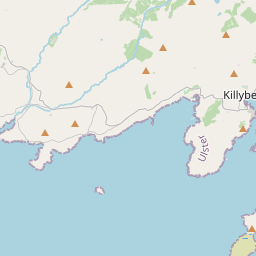
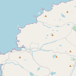
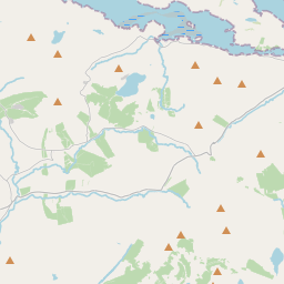

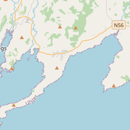
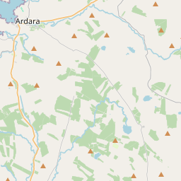

Leaflet | Map data © OpenStreetMap contributors
Achar
Cill Charthaigh has an area of 16.5 km² / 4,079.7 acres / 6.4 square miles.
Ceannbhailte
There are 14 townlands that we know about in . This represents 100% of all the area in .
- Baile Mhic Pháidín 254 A, 2 R, 9 P
- An Bogach 594 A, 1 R, 26 P
- Caiseal Charna 249 A, 2 R, 11 P
- Cuskry Glebe 204 A, 0 R, 17 P
- Doire Leathan 639 A, 3 R, 17 P
- Droim Riach 189 A, 3 R, 23 P
- Caonachán 192 A, 1 R, 25 P
- An Chill Bheag 252 A, 2 R, 28 P
- Cill Charthaigh 234 A, 3 R, 27 P
- Cill Chathasaigh 452 A, 1 R, 14 P
- New Church Glebe 1 A, 1 R, 24 P
- Glaidhb an tSeanteampaill 1 A, 2 R, 5 P
- Port Eachrann 503 A, 3 R, 2 P
- An Seanach 308 A, 0 R, 37 P
 OpenStreetMap
Cill Charthaigh was added to OpenStreetMap on 24 Ean 2017 by Boggedy.
- View
- Edit