Based on data in OpenStreetMap, here is a list of townlands in the Electoral Division / ED / District Electoral Division of Cnoc Colbha.
Cnoc Colbha is in Co.
Cnoc Colbha is not matched up to Logainm.ie yet.
Léarscáil
It is located at 55° 9' 13" N, 7° 35' 18" W.
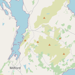
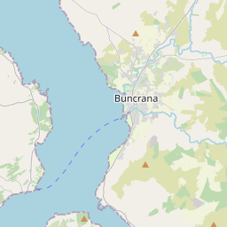
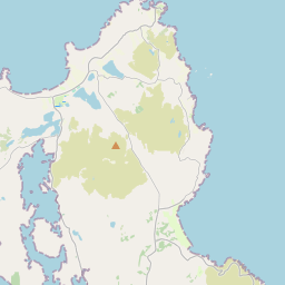
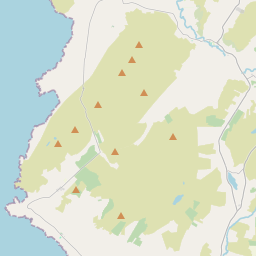
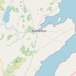
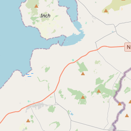
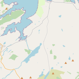
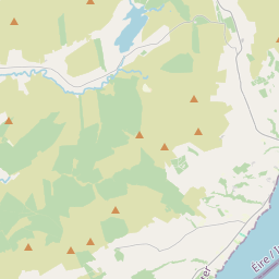
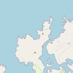
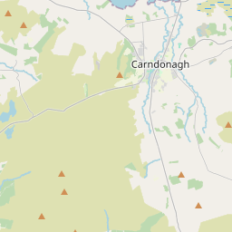
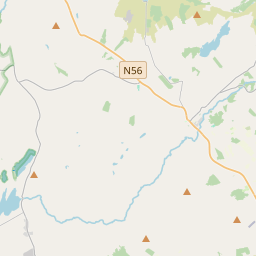
Leaflet | Map data © OpenStreetMap contributors
Achar
Cnoc Colbha has an area of 17.9 km² / 4,420.7 acres / 6.9 square miles.
Ceannbhailte
There are 13 townlands that we know about in . This represents 100% of all the area in .
- Anny Far and Near 383 A, 1 R, 24 P
- Bun na Toinne 604 A, 1 R, 36 P
- Carngarrow 312 A, 3 R, 34 P
- An Cheathrú Riabhach 469 A, 0 R, 16 P
- Creeveoughter 843 A, 2 R, 15 P
- Inniskil 95 A, 2 R, 18 P
- Killycolman 135 A, 2 R, 32 P
- Lehardan 173 A, 2 R, 4 P
- An Leargain Bhreac 293 A, 2 R, 23 P
- Meentaghconlan 315 A, 3 R, 4 P
- Na Mínte Móra 275 A, 2 R, 5 P
- Tír Eibhlín 50 A, 1 R, 31 P
- Tír Leadáin 466 A, 3 R, 26 P
 OpenStreetMap
Cnoc Colbha was added to OpenStreetMap on 11 Feabh 2017 by Boggedy.
- View
- Edit