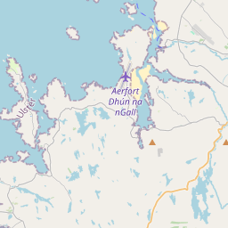
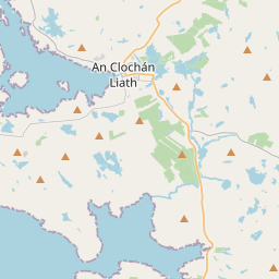
Based on data in OpenStreetMap, here is a list of townlands in the Electoral Division / ED / District Electoral Division of Machaire Chlochair.
We don't know what county Machaire Chlochair is in.
Machaire Chlochair is not matched up to Logainm.ie yet.
Léarscáil
It is located at 55° 2' 12" N, 8° 14' 15" W.


Leaflet | Map data © OpenStreetMap contributors
Achar
Machaire Chlochair has an area of 99.2 km² / 24,524.6 acres / 38.3 square miles.
Ceannbhailte
There are 35 townlands that we know about in . This represents 99.0% of all the area in .
- Allagh Island 8 A, 2 R, 28 P
- Ardnagappary 788 A, 1 R, 8 P
- Arduns 2905 A, 3 R, 32 P
- Attatantee 1182 A, 3 R, 25 P
- Bunbeg 70 A, 0 R, 25 P
- Crolly 2488 A, 1 R, 15 P
- Cronaquiggy 794 A, 3 R, 18 P
- Doirí Beaga 122 A, 1 R, 18 P
- Dore 976 A, 2 R, 3 P
- Gabhla 471 A, 1 R, 12 P
- Glentornan 2738 A, 3 R, 9 P
- Go Island 14 A, 2 R, 34 P
- Illancarragh 9 A, 0 R, 10 P
- Inishinny 51 A, 0 R, 6 P
- Knockastoller 559 A, 1 R, 14 P
- Loughlin Island 1 A, 0 R, 29 P
- Lunniagh 497 A, 2 R, 11 P
- Magheraclogher 688 A, 3 R, 8 P
- Magheragallan 447 A, 3 R, 35 P
- Mín na Cuinge 1135 A, 0 R, 22 P
- Meenaduff 304 A, 0 R, 23 P
- Meenanillar 572 A, 1 R, 16 P
- Meencorwick 1015 A, 3 R, 26 P
- Meenderrygamph 1330 A, 1 R, 34 P
- Oileán Bó 7 A, 1 R, 9 P
- Sheskinbeg 229 A, 2 R, 23 P
- Sleeghan 201 A, 3 R, 36 P
- Strakeenagh 570 A, 1 R, 28 P
- Stramackilmartin 223 A, 0 R, 28 P
- Stranabrooey 378 A, 0 R, 13 P
- Stranacorcragh 345 A, 2 R, 4 P
- Tor 3110 A, 0 R, 38 P
- Torglass Island 4 A, 1 R, 2 P
- Tornacolpagh Island 4 A, 3 R, 27 P
- Umfin Island 32 A, 3 R, 11 P
 OpenStreetMap
Machaire Chlochair was added to OpenStreetMap on 30 Ean 2017 by Boggedy.
- View
- Edit

 JOSM
JOSM iD
iD