Based on data in OpenStreetMap, here is a list of townlands in the Electoral Division / ED / District Electoral Division of Carrowdore.
Carrowdore is in Co.
Carrowdore is not matched up to Logainm.ie yet.
Léarscáil
It is located at 54° 35' 11" N, 5° 32' 26" W.
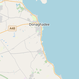
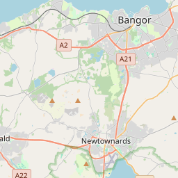
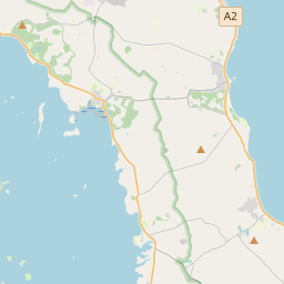
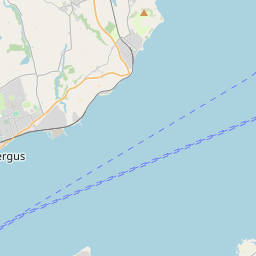
Leaflet | Map data © OpenStreetMap contributors
Achar
Carrowdore has an area of 19.7 km² / 4,874.1 acres / 7.6 square miles.
Ceannbhailte
There are 17 townlands that we know about in . This represents 100% of all the area in .
- Baile Bhuitléara 418 A, 3 R, 35 P
- Baile Chóplainn 474 A, 3 R, 30 P
- Baile na nDúnán 252 A, 2 R, 32 P
- Baile Freanais 266 A, 2 R, 5 P
- Baile Hascain 350 A, 0 R, 37 P
- Baile Mhic Naosa 389 A, 3 R, 21 P
- Baile na Móna 206 A, 2 R, 30 P
- Baile Ramhar 366 A, 0 R, 36 P
- Baile Rolaí 242 A, 1 R, 5 P
- Baile Uí Uiscín 166 A, 0 R, 23 P
- Carney Hill 85 A, 3 R, 23 P
- An Droim Fada 275 A, 0 R, 6 P
- Ganaway 185 A, 1 R, 20 P
- Baile na Gráinsí 556 A, 3 R, 35 P
- Islandhill 142 A, 1 R, 21 P
- Cill Bhreachtáin 233 A, 3 R, 3 P
- Sloanstown 260 A, 0 R, 4 P
 OpenStreetMap
Carrowdore was added to OpenStreetMap on 19 Feabh 2021 by b-unicycling.
- View
- Edit