Based on data in OpenStreetMap, here is a list of townlands in the Electoral Division / ED / District Electoral Division of Clonduff.
Clonduff is in Co.
Clonduff is not matched up to Logainm.ie yet.
Léarscáil
It is located at 54° 12' 20" N, 6° 4' 43" W.
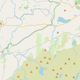
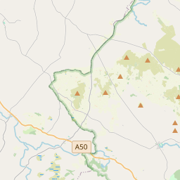
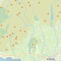
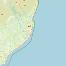
Leaflet | Map data © OpenStreetMap contributors
Achar
Clonduff has an area of 35.8 km² / 8,858.1 acres / 13.8 square miles.
Ceannbhailte
There are 13 townlands that we know about in . This represents 100% of all the area in .
- Baile Cois Abhann 179 A, 2 R, 23 P
- Baile Cois Abhann 249 A, 0 R, 19 P
- An Baile Caol 461 A, 2 R, 0 P
- Baile na gCopóg 488 A, 2 R, 7 P
- Baile an Eanaigh 1705 A, 0 R, 17 P
- Baile Mhaoile 249 A, 1 R, 33 P
- An Chabrach 275 A, 3 R, 12 P
- Droim Banbh 451 A, 1 R, 20 P
- Guthard 923 A, 0 R, 2 P
- An tOileán Maol 637 A, 1 R, 0 P
- Caomhchoill 341 A, 1 R, 37 P
- Leithinis 319 A, 3 R, 32 P
- An Stang 2575 A, 3 R, 8 P
 OpenStreetMap
Clonduff was added to OpenStreetMap on 19 Feabh 2021 by b-unicycling.
- View
- Edit