Based on data in OpenStreetMap, here is a list of townlands in the Electoral Division / ED / District Electoral Division of Killowen.
Killowen is in Co.
Killowen is not matched up to Logainm.ie yet.
Léarscáil
It is located at 54° 5' 52" N, 6° 8' 29" W.
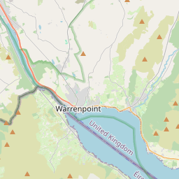
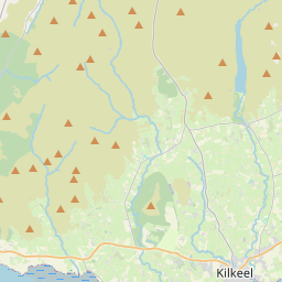
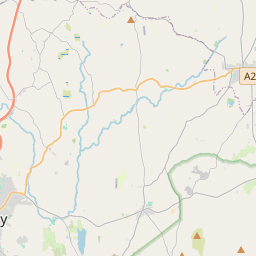
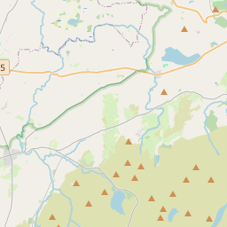
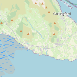
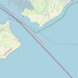
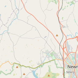
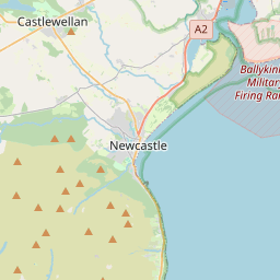
Leaflet | Map data © OpenStreetMap contributors
Achar
Killowen has an area of 21.2 km² / 5,237.4 acres / 8.2 square miles.
Ceannbhailte
There are 12 townlands that we know about in . This represents 100% of all the area in .
- Baile an Chorraigh 264 A, 2 R, 14 P
- Baile an Dubhaltaigh 218 A, 1 R, 0 P
- Baile an Reanna 203 A, 0 R, 5 P
- Baile an Toir 234 A, 1 R, 37 P
- Baile an Toir 139 A, 2 R, 23 P
- Baile Éamainn 260 A, 3 R, 3 P
- Baile an Fheadáin 135 A, 1 R, 10 P
- Cill Fiacháin 294 A, 0 R, 15 P
- Cill Fiacháin 536 A, 0 R, 39 P
- Cill Eoghain 654 A, 2 R, 31 P
- Rostrevor Mountains 2120 A, 0 R, 16 P
- Tamhnaigh Bheithe 176 A, 0 R, 22 P
 OpenStreetMap
Killowen was added to OpenStreetMap on 20 Feabh 2021 by b-unicycling.
- View
- Edit