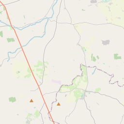
Based on data in OpenStreetMap, here is a list of townlands in the Electoral Division / ED / District Electoral Division of Garristown.
Garristown is in Co.
Garristown is not matched up to Logainm.ie yet.
Léarscáil
It is located at 53° 33' 15" N, 6° 22' 46" W.


Leaflet | Map data © OpenStreetMap contributors
Achar
Garristown has an area of 35.5 km² / 8,783.5 acres / 13.7 square miles.
Ceannbhailte
There are 21 townlands that we know about in . This represents 100% of all the area in .
- Baile Adaim 566 A, 2 R, 15 P
- Baile an Bhallúnaigh 776 A, 0 R, 3 P
- Baile Mhic Dhoinn 774 A, 2 R, 24 P
- An Baile Trasna 94 A, 1 R, 28 P
- Baile an Bhoróntaigh 619 A, 3 R, 21 P
- Baile Shear 223 A, 1 R, 21 P
- An Coimín Íochtarach 610 A, 1 R, 9 P
- An Coimín Uachtarach 253 A, 3 R, 32 P
- Baile an Chordónaigh 418 A, 1 R, 14 P
- Baile Gháire 1267 A, 2 R, 38 P
- An Ghléib Thoir 9 A, 2 R, 38 P
- An Ghléib 31 A, 3 R, 11 P
- An Ghléib Thiar 18 A, 2 R, 8 P
- Cnoc an Íoca 122 A, 1 R, 32 P
- An tAgard Nua 115 A, 1 R, 4 P
- An Baile Nua 738 A, 1 R, 39 P
- Baile an Notaigh 763 A, 1 R, 2 P
- Pluckhimin 131 A, 1 R, 2 P
- Toibín 231 A, 2 R, 35 P
- Tobar Grágáin 629 A, 1 R, 36 P
- Baile an Bhíosaigh 386 A, 0 R, 18 P
 OpenStreetMap
Garristown was added to OpenStreetMap on 29 Aib 2021 by brianh.
- View
- Edit

 JOSM
JOSM iD
iD