Based on data in OpenStreetMap, here is a list of townlands in the Electoral Division / ED / District Electoral Division of Drumane.
Drumane is in Co.
Drumane is not matched up to Logainm.ie yet.
Léarscáil
It is located at 54° 16' 53" N, 7° 37' 56" W.
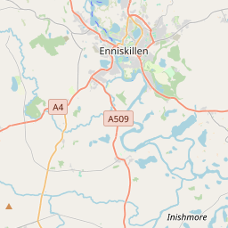
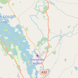
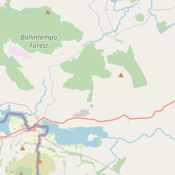
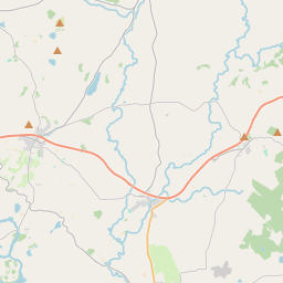
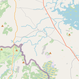
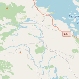
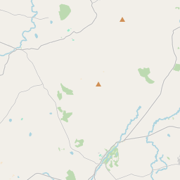
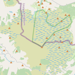
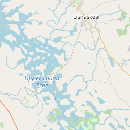
Leaflet | Map data © OpenStreetMap contributors
Achar
Drumane has an area of 12.0 km² / 2,973.5 acres / 4.6 square miles.
Ceannbhailte
There are 15 townlands that we know about in . This represents 100% of all the area in .
- Ardtonnagh 153 A, 0 R, 32 P
- Cloonatrig 196 A, 0 R, 13 P
- Crockareddy 138 A, 0 R, 31 P
- Derryhawlagh 134 A, 3 R, 5 P
- Derryinch 216 A, 0 R, 27 P
- Drumane 133 A, 3 R, 15 P
- Drumbargy 109 A, 3 R, 1 P
- Drumbrughas 216 A, 3 R, 0 P
- Gortdonaghy 246 A, 1 R, 18 P
- Ross 159 A, 0 R, 1 P
- Rossavally 233 A, 3 R, 15 P
- Rossdoney 245 A, 0 R, 36 P
- Sessiagh West 332 A, 2 R, 10 P
- Tonyloman 256 A, 0 R, 8 P
- Tonyteige 201 A, 2 R, 25 P
 OpenStreetMap
Drumane was added to OpenStreetMap on 25 Márta 2021 by b-unicycling.
- View
- Edit