Based on data in OpenStreetMap, here is a list of townlands in the Electoral Division / ED / District Electoral Division of Inishmore.
Inishmore is in Co.
Inishmore is not matched up to Logainm.ie yet.
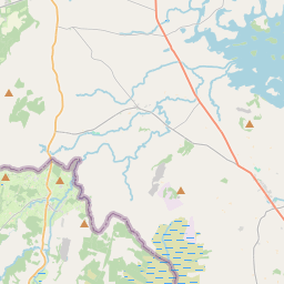
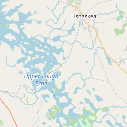
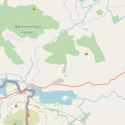
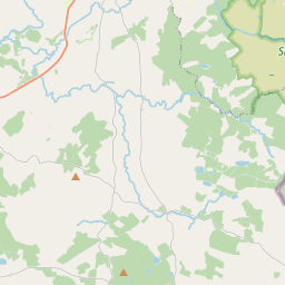
Léarscáil
It is located at 54° 16' 22" N, 7° 35' 1" W.
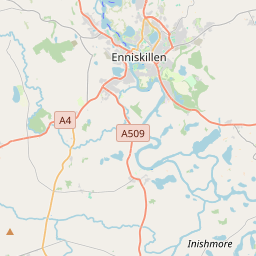
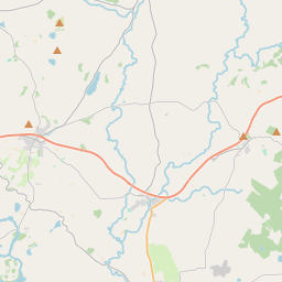
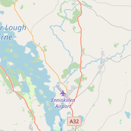
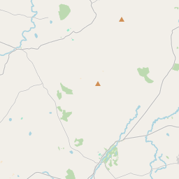
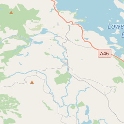
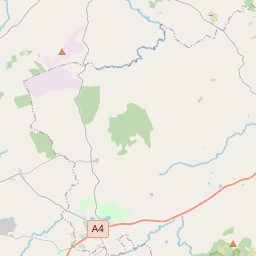
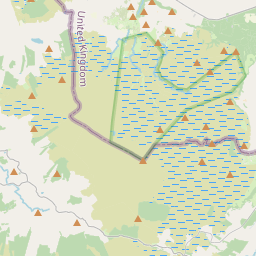
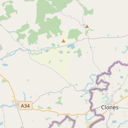
Leaflet | Map data © OpenStreetMap contributors
Achar
Inishmore has an area of 10.1 km² / 2,489.8 acres / 3.9 square miles.
Ceannbhailte
There are 17 townlands that we know about in . This represents 100% of all the area in .
- Arda 216 A, 3 R, 4 P
- Aughey 109 A, 2 R, 8 P
- Carry 268 A, 2 R, 26 P
- Cassan 84 A, 2 R, 38 P
- Clontycoora 296 A, 2 R, 32 P
- Crockaleen 77 A, 1 R, 15 P
- Drumcramph 63 A, 1 R, 4 P
- Drumcrooil 58 A, 0 R, 2 P
- Drumhirk 119 A, 1 R, 31 P
- Drummee 176 A, 2 R, 7 P
- Gubrusdinna 109 A, 3 R, 15 P
- Lusty More 60 A, 3 R, 16 P
- Sessiagh East 352 A, 3 R, 32 P
- Slee 163 A, 3 R, 10 P
- Tonymalloe 77 A, 0 R, 36 P
- Tully 65 A, 1 R, 4 P
- Whilliter 188 A, 2 R, 32 P
 OpenStreetMap
Inishmore was added to OpenStreetMap on 13 Márta 2021 by b-unicycling.
- View
- Edit