Based on data in OpenStreetMap, here is a list of townlands in the Electoral Division / ED / District Electoral Division of Árainn.
Árainn is in Co.
Árainn is not matched up to Logainm.ie yet.
Léarscáil
It is located at 53° 6' 32" N, 9° 40' 26" W.
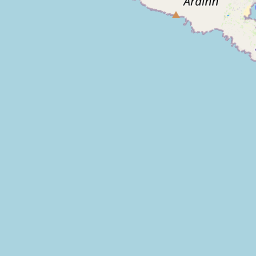
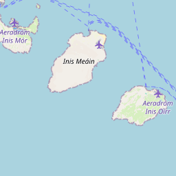
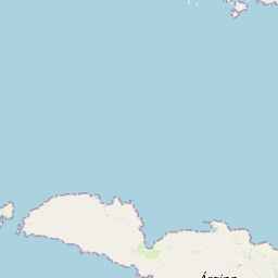


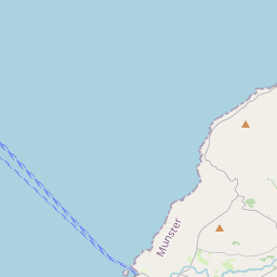


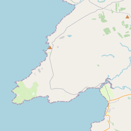
Leaflet | Map data © OpenStreetMap contributors
Achar
Árainn has an area of 49.7 km² / 12,290.2 acres / 19.2 square miles.
Ceannbhailte
There are 12 townlands that we know about in . This represents 100% of all the area in .
- Oileán Dá Bhranóg 94 A, 3 R, 33 P
- Brannock Island East 6 A, 0 R, 24 P
- An tOileán Thoir 9 A, 1 R, 18 P
- An tOileán Thiar 7 A, 3 R, 38 P
- Ceathrú an Lisín 1209 A, 3 R, 0 P
- Ceathrú an Teampaill 1222 A, 0 R, 14 P
- Inis Oírr 1536 A, 1 R, 22 P
- Cill Éinne 2501 A, 2 R, 7 P
- Cill Mhuirbhigh 1868 A, 2 R, 7 P
- Eochaill 1874 A, 3 R, 5 P
- Eoghanacht 1900 A, 1 R, 20 P
- Oileán Iarthach 58 A, 0 R, 38 P
 OpenStreetMap
Árainn was added to OpenStreetMap on 17 Feabh 2014 by Boggedy.
- View
- Edit