Based on data in OpenStreetMap, here is a list of townlands in the Electoral Division / ED / District Electoral Division of Gort.
Gort is in Co.
Gort is not matched up to Logainm.ie yet.
Léarscáil
It is located at 53° 3' 54" N, 8° 48' 56" W.
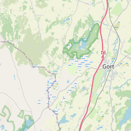
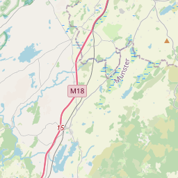

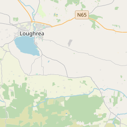
Leaflet | Map data © OpenStreetMap contributors
Achar
Gort has an area of 11.1 km² / 2,740.5 acres / 4.3 square miles.
Ceannbhailte
There are 12 townlands that we know about in . This represents 100% of all the area in .
- Baile Uí Aodha 309 A, 0 R, 5 P
- Baile Uí Mhurchú 26 A, 2 R, 20 P
- Carrach 284 A, 1 R, 13 P
- Cloch na Céibhe 258 A, 3 R, 6 P
- Cluain na hÁithe 327 A, 3 R, 37 P
- An Gleann Breac 629 A, 0 R, 5 P
- Gort Inse Guaire 161 A, 2 R, 23 P
- An Gort Stacánach 85 A, 1 R, 21 P
- Cionn Inse 105 A, 0 R, 7 P
- An Leathbhaile 180 A, 1 R, 19 P
- An Leathbhaile 133 A, 1 R, 5 P
- Rinn Daibhchín 238 A, 3 R, 31 P
 OpenStreetMap
Gort was added to OpenStreetMap on 8 Samh 2015 by Boggedy.
- View
- Edit