Based on data in OpenStreetMap, here is a list of townlands in the Electoral Division / ED / District Electoral Division of Killimor.
Killimor is in Co.
Killimor is not matched up to Logainm.ie yet.
Léarscáil
It is located at 53° 18' 56" N, 8° 34' 19" W.
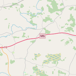
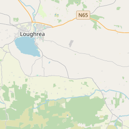
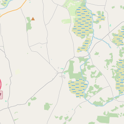
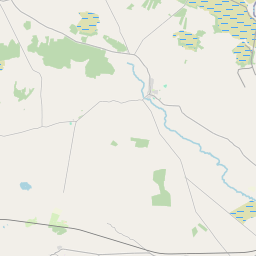
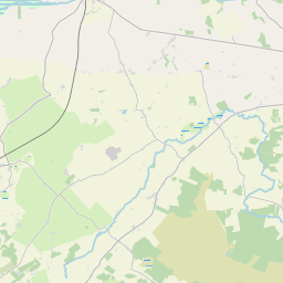
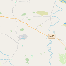
Leaflet | Map data © OpenStreetMap contributors
Achar
Killimor has an area of 26.3 km² / 6,509.5 acres / 10.2 square miles.
Ceannbhailte
There are 13 townlands that we know about in . This represents 100% of all the area in .
- Breac-chluain 834 A, 2 R, 13 P
- Cealtrach Bhríde 168 A, 1 R, 31 P
- Ceapach na nÚll 420 A, 1 R, 19 P
- Ceapach na Sruthán 677 A, 0 R, 8 P
- Cluain Catha 767 A, 3 R, 36 P
- Cluain Sí Cathail 715 A, 1 R, 5 P
- Dúchluain 726 A, 0 R, 37 P
- Gort na Lon Theas 277 A, 0 R, 23 P
- Cill Íomair 741 A, 1 R, 22 P
- An Cnoc Rua 499 A, 3 R, 8 P
- An Léana Mór 199 A, 3 R, 29 P
- An Léana Riabhach 127 A, 0 R, 15 P
- An Léana Riabhach 354 A, 0 R, 22 P
 OpenStreetMap
Killimor was added to OpenStreetMap on 17 Samh 2016 by Boggedy.
- View
- Edit