Based on data in OpenStreetMap, here is a list of townlands in the Electoral Division / ED / District Electoral Division of Kilmacshane.
Kilmacshane is in Co.
Kilmacshane is not matched up to Logainm.ie yet.
Léarscáil
It is located at 53° 13' 10" N, 8° 0' 57" W.
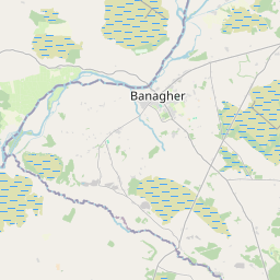
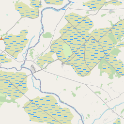
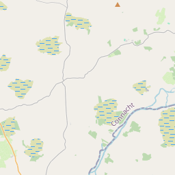
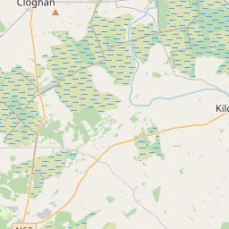
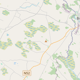
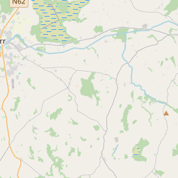
Leaflet | Map data © OpenStreetMap contributors
Achar
Kilmacshane has an area of 30.2 km² / 7,460.3 acres / 11.7 square miles.
Ceannbhailte
There are 13 townlands that we know about in . This represents 96.6% of all the area in .
- Ceann na Coille 388 A, 3 R, 7 P
- An Cheárta 981 A, 1 R, 11 P
- Eiscir 1648 A, 0 R, 10 P
- Oileán Eascrach 10 A, 2 R, 18 P
- Inse na Sceagh 12 A, 1 R, 22 P
- Inis Aodha 76 A, 3 R, 36 P
- Coill Altanach 370 A, 1 R, 26 P
- An Choill Iarthach 188 A, 0 R, 24 P
- Coill Mhic Sheáin 273 A, 2 R, 29 P
- Coill Mhic Sheáin 2154 A, 1 R, 18 P
- Coill na Buiríse 398 A, 1 R, 24 P
- Leithinse 67 A, 2 R, 18 P
- An Riasc 638 A, 2 R, 15 P
 OpenStreetMap
Kilmacshane was added to OpenStreetMap on 11 Ean 2015 by Boggedy.
- View
- Edit