Based on data in OpenStreetMap, here is a list of townlands in the Electoral Division / ED / District Electoral Division of Lackaghbeg.
Lackaghbeg is in Co.
Lackaghbeg is not matched up to Logainm.ie yet.
Léarscáil
It is located at 53° 22' 0" N, 8° 53' 13" W.
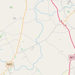
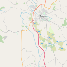
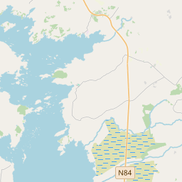
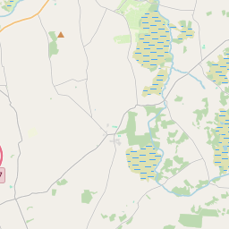
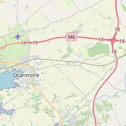
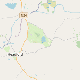
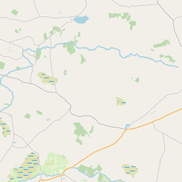
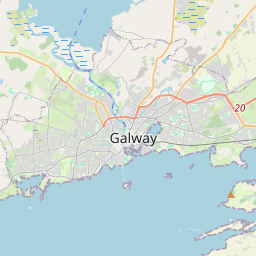
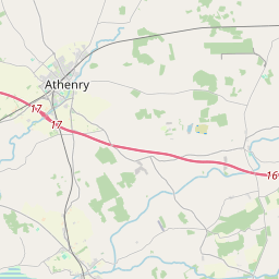
Leaflet | Map data © OpenStreetMap contributors
Achar
Lackaghbeg has an area of 19.9 km² / 4,924.1 acres / 7.7 square miles.
Ceannbhailte
There are 13 townlands that we know about in . This represents 100% of all the area in .
- Cathair na Silíní 681 A, 3 R, 30 P
- Cárán Caolbhaí 116 A, 2 R, 32 P
- Cúl 565 A, 2 R, 4 P
- Na Croisíní 154 A, 1 R, 21 P
- Cill Torróg 102 A, 3 R, 19 P
- Cill Torróg 466 A, 2 R, 6 P
- Cnoc Tua Beag Thoir 261 A, 3 R, 33 P
- Cnoc Tua Beag Thiar 554 A, 2 R, 33 P
- Cnoc Tua Mór 328 A, 0 R, 8 P
- Leacach Beag 766 A, 2 R, 22 P
- Leacach Mór 551 A, 2 R, 28 P
- An Mhóin Rua 315 A, 2 R, 35 P
- An Turlach Mór 57 A, 1 R, 19 P
 OpenStreetMap
Lackaghbeg was added to OpenStreetMap on 18 Meith 2016 by Boggedy.
- View
- Edit