Based on data in OpenStreetMap, here is a list of townlands in the Electoral Division / ED / District Electoral Division of Astee.
Astee is in Co.
Astee is not matched up to Logainm.ie yet.
Léarscáil
It is located at 52° 33' 54" N, 9° 33' 35" W.
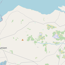
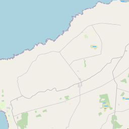
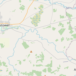
Leaflet | Map data © OpenStreetMap contributors
Achar
Astee has an area of 39.0 km² / 9,626.3 acres / 15.0 square miles.
Ceannbhailte
There are 13 townlands that we know about in . This represents 58.8% of all the area in .
- Eas Daoi Thoir 599 A, 0 R, 8 P
- Eas Daoi Thiar 695 A, 0 R, 16 P
- Baile Nóinín 818 A, 3 R, 29 P
- Carrigane 194 A, 1 R, 17 P
- Cluain na mBan 790 A, 2 R, 2 P
- An Currach Dearg 521 A, 1 R, 32 P
- Glanawillin 223 A, 2 R, 22 P
- Kilcolman 368 A, 0 R, 22 P
- Cill Eiltín 194 A, 1 R, 0 P
- Kylatallin 142 A, 0 R, 28 P
- An Leathráth 877 A, 3 R, 28 P
- Leitir 108 A, 3 R, 14 P
- Sliss 128 A, 2 R, 5 P
 OpenStreetMap
Astee was added to OpenStreetMap on 26 Meith 2016 by Boggedy.
- View
- Edit