Based on data in OpenStreetMap, here is a list of townlands in the Electoral Division / ED / District Electoral Division of Cé Bhréanainn.
Cé Bhréanainn is in Co.
Cé Bhréanainn is not matched up to Logainm.ie yet.
Léarscáil
It is located at 52° 15' 55" N, 10° 12' 26" W.
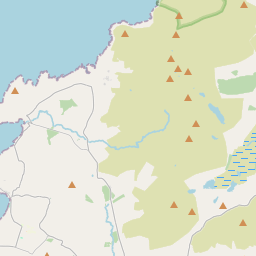
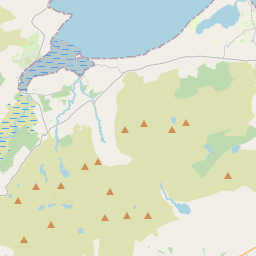
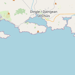
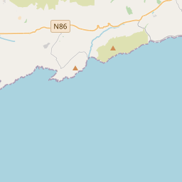
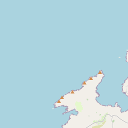
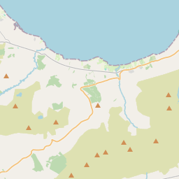

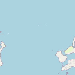
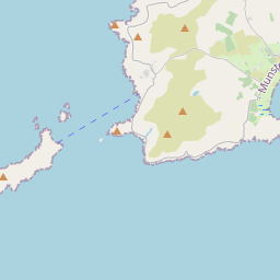
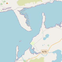
Leaflet | Map data © OpenStreetMap contributors
Achar
Cé Bhréanainn has an area of 23.4 km² / 5,782.1 acres / 9.0 square miles.
Ceannbhailte
There are 8 townlands that we know about in . This represents 100% of all the area in .
- Airghleann 1135 A, 2 R, 9 P
- An Baile Mór 49 A, 1 R, 38 P
- An Fearann 20 A, 0 R, 7 P
- Lios na Caolbhuí 935 A, 2 R, 3 P
- Macha an Mhíl 1310 A, 3 R, 27 P
- Murorgán 730 A, 3 R, 6 P
- An Sliabh Glas 483 A, 2 R, 16 P
- An Tír 1116 A, 0 R, 30 P
 OpenStreetMap
Cé Bhréanainn was added to OpenStreetMap on 21 Meith 2016 by Boggedy.
- View
- Edit