Based on data in OpenStreetMap, here is a list of townlands in the Electoral Division / ED / District Electoral Division of Dromore.
Dromore is in Co.
Dromore is not matched up to Logainm.ie yet.
Léarscáil
It is located at 51° 52' 33" N, 9° 43' 17" W.
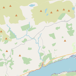
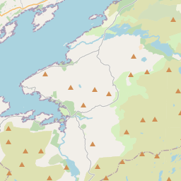
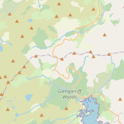
Leaflet | Map data © OpenStreetMap contributors
Achar
Dromore has an area of 20.9 km² / 5,162.8 acres / 8.1 square miles.
Ceannbhailte
There are 12 townlands that we know about in . This represents 100% of all the area in .
- Ceapaigh na Coise Thoir 691 A, 3 R, 37 P
- Ceapaigh na Coise Thiar 502 A, 2 R, 32 P
- An Cheapaigh Rua 368 A, 0 R, 39 P
- Com na Cille Thuaidh 494 A, 0 R, 23 P
- Com na Cille Theas 640 A, 0 R, 7 P
- Doirín Darach 227 A, 0 R, 1 P
- An Drom Mór 527 A, 2 R, 1 P
- An Seandrom Mór 495 A, 2 R, 15 P
- Gowlane 399 A, 3 R, 34 P
- Leac Fhinn 329 A, 1 R, 19 P
- Meall na nGabhar 253 A, 3 R, 39 P
- Ré Chaisleach 232 A, 0 R, 35 P
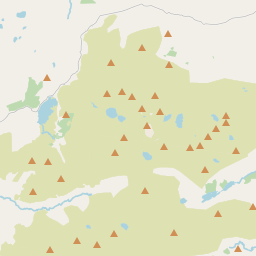
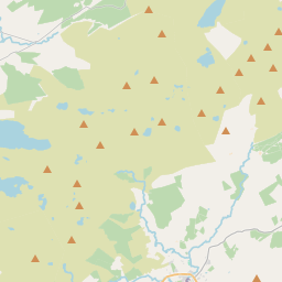
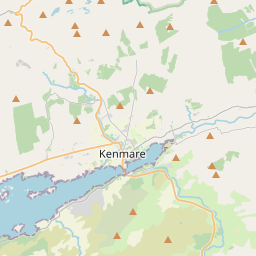
 OpenStreetMap
Dromore was added to OpenStreetMap on 11 Ean 2017 by Teester.
- View
- Edit