Based on data in OpenStreetMap, here is a list of townlands in the Electoral Division / ED / District Electoral Division of Duagh.
Duagh is in Co.
Duagh is not matched up to Logainm.ie yet.
Léarscáil
It is located at 52° 24' 21" N, 9° 23' 17" W.
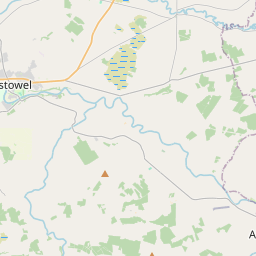
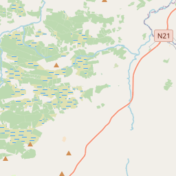
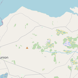
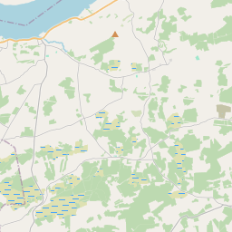
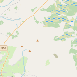
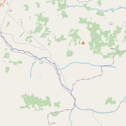
Leaflet | Map data © OpenStreetMap contributors
Achar
Duagh has an area of 14.0 km² / 3,452.1 acres / 5.4 square miles.
Ceannbhailte
There are 13 townlands that we know about in . This represents 100% of all the area in .
- Coolvackagh 55 A, 0 R, 10 P
- Dubháth 226 A, 3 R, 16 P
- An Fhaill Dearg 264 A, 1 R, 23 P
- An tOileán Buí 138 A, 3 R, 25 P
- Islandboy West 18 A, 3 R, 4 P
- Cill Chárthaigh Bheag 248 A, 2 R, 7 P
- Cill Chárthaigh Mhór 306 A, 3 R, 14 P
- Knockadereen 485 A, 1 R, 2 P
- Cnoc an Bhealaigh 195 A, 3 R, 12 P
- Knockundervaul 443 A, 0 R, 36 P
- An Lios Rua 572 A, 0 R, 13 P
- Lybes 122 A, 3 R, 11 P
- An Screathan 373 A, 2 R, 2 P
 OpenStreetMap
Duagh was added to OpenStreetMap on 7 Ean 2017 by Teester.
- View
- Edit